What is recorded here
Situated on top of a gentle N-facing slope in undulating pasture. Depicted as a circular enclosure (diam. c. 20m) on the 1837 edition of the OS 6-inch map. The site has been levelled. However, the outline of a circular enclosure (diam. c. 16m) defined by a slightly raised ring of darker vegetation is still identifiable. O'Donovan
Date of upload: 19 January 2011
From the National Monuments Service (Archaeological Survey of Ireland) record SL016-035
The monument record does not grant public access. Check the route and ask the landowner before entering private land.
- What survives
- Recorded monument
Places near here
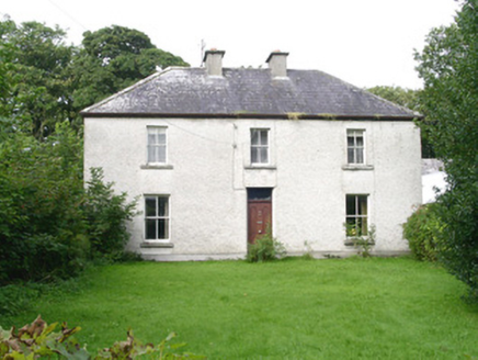 AshdaleHouse · 634 yd
 Enniscrone BeachBeach / strand · 1520 yd
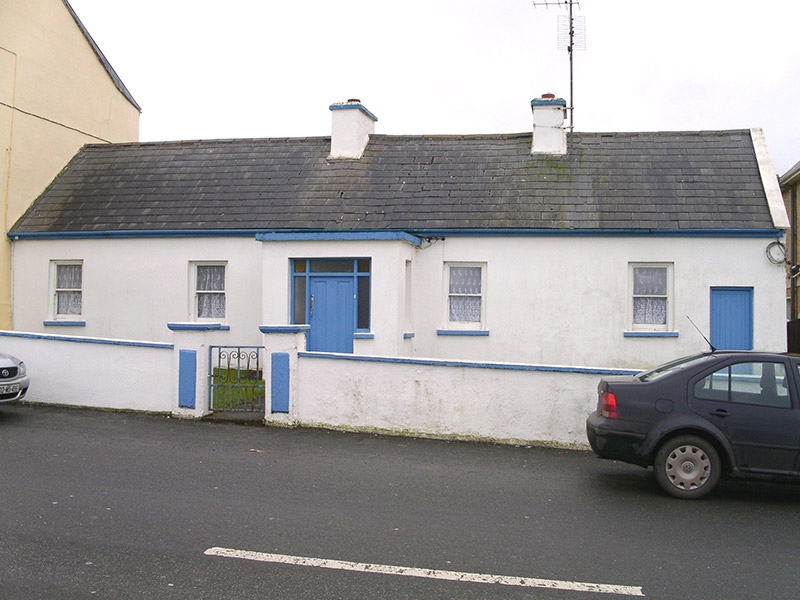 Saint Theresa'sHouse · 1.4 mi
 Wild Atlantic Way: Inishcrone PierVisitor information · 1.8 mi
 Rosserk AbbeyHeritage attraction · 2.1 mi
 Hawthorn2.3 mi
 Moyne AbbeyHeritage attraction · 2.5 mi
 Rinnaun PointHeadland · 4.2 mi
 Belleek WoodsWood · 4.4 mi
 Cathedral in Townplots WestCathedral · 4.4 mi
 Round tower in Townplots WestRound tower · 4.4 mi
 Battle of KillalaBattle · 4.5 mi
Pictures: National Inventory of Architectural Heritage; Robin Mais, Geograph · CC BY-SA 2.0; Florentchevallier, Wikimedia Commons · CC BY-SA 4.0; Andreas F. Borchert, Wikimedia Commons · CC BY-SA 4.0; Didier Descouens, Wikimedia Commons · CC BY-SA 4.0; Steve Edge, Geograph · CC BY-SA 2.0; Richard Webb, Geograph · CC BY-SA 2.0; JohnArmagh, Wikimedia Commons · CC BY-SA 3.0; Edward S. Siebert, Wikimedia Commons · Public domain
More archaeology and monuments in County Sligo · All of County Sligo
What do you know about this place?