
Places near here
Photo credits
- National Inventory of Architectural Heritage
- Kmcnamee, Wikimedia Commons · CC BY-SA 4.0
- Eric Jones, Geograph · Creative Commons Attribution-ShareAlike 2.0
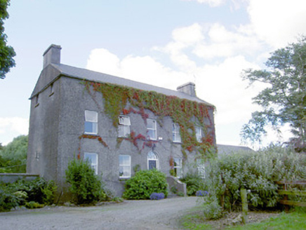 Richmount HillHouse · 199 yd
Explorer Tom Richmount Hill is interviewing for a job as a ghost, claiming its narrow plan makes it mysterious. It thinks its…
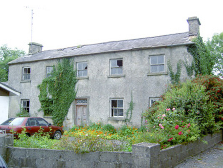 Keel HouseHouse · 1.4 mi
Explorer Tom Keel House in Keel is built from 'pudding stone', which sounds like a delicious snack but is actually just rock. Locals…
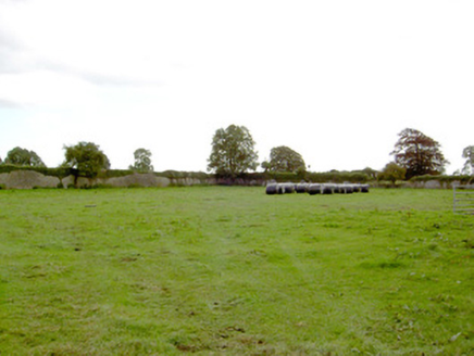 Park PlaceWalled garden · 1.5 mi
Explorer Tom Park Place walled garden in Parkplace, County Longford is basically an orphan now because the main house got demolished…
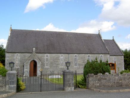 Saint Anne's Catholic ChurchChurch/chapel · 1.6 mi
Explorer Tom Saint Anne's Catholic Church in Ballycloghan hears every whispered gossip from the village through its limestone bones.…
 Michael Moran Park, CarrickedmondGAA ground · 1.8 mi
 Catholic Church of the Sacred HeartChurch/chapel · 1.9 mi
Explorer Tom Catholic Church of the Sacred Heart in Killeendowd holds the world record for the quietest sneeze ever recorded. It’s a…
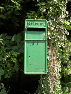 post box1.9 mi
Explorer Tom This post box in Killeendowd would cope brilliantly on a reality show by just standing there and judging everyone…
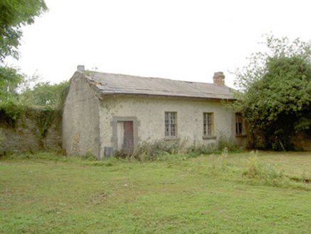 Doory HallWorker's house, building misc · 2.5 mi
Explorer Tom Doory Hall in Doory is a gardener’s house with better taste than most palaces nearby. It holds a quiet rivalry with the…
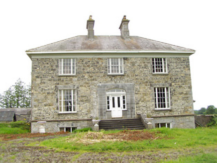 Oldtown HouseHouse · 4.5 mi
Explorer Tom Oldtown House in Oldtown, County Longford would order a massive portion of chips with everything on top, including…
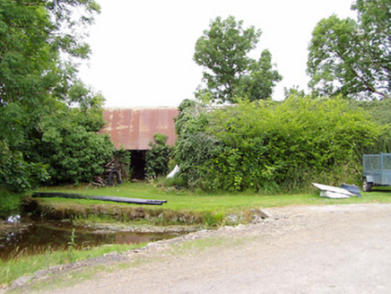 mill (water)4.6 mi
Explorer Tom Mill in Killinlastra inspired a bad poem about flour and water that rhymed with 'there'. It's derelict now, but Tom…
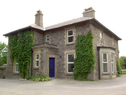 Brookfield HouseHouse · 4.7 mi
Explorer Tom Brookfield House in Keenagh was once ruled by a very confident goat who ate half the garden and probably started the…
Dunbeggan, Young GrattansGAA ground · 6.7 miMore archaeology and monuments in County Longford · All of County Longford

What do you know about this place?Tap to add a comment or ask a question