What is recorded here
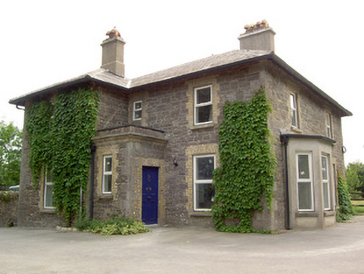
Detached three-bay two-storey house on L-shaped plan, built c. 1860, with projecting end bay to the north end of the main façade (northwest) and flat-roofed single-bay porch to the corner of the ‘L’. Recent canted bay window to the southwest elevation. Hipped slate roof with overhanging eaves, rendered chimneystacks and replacement rainwater goods. Rendered parapet to flat-roofed porch and flat-roof to canted bay window. Roughly coursed dressed limestone walls with cut tooled limestone quoins to the corners. Smooth render to canted bay. Square-headed window openings with tooled cut limestone sills, red brick block-and-start dressings and replacement windows. Square-headed door opening to southeast elevation of porch with limestone step, red brick block-and-start dressing and timber panelled door. Outbuildings to the northeast of random rubble limestone construction with tooled carved monolithic limestone gate posts on square-plan to site. Cast-iron gate piers and double-leaf gates to west of site, now disused. Set back from road in extensive mature grounds to the south of Keenagh and the northwest of Church of Ireland church (13313025).
A pleasing and well composed middle-sized house of balanced proportions. Interesting features on the site include the limestone and cast-iron gate piers and double leaf gates. In spite of some alterations, including recent refenestration, this house exists largely in its early form and retains much of its original fabric. Its scale and form, and its location in close proximity to the Church of Ireland church (13313025) at Keenagh suggest that it may have been built as a rectory. It is a pleasing feature in the landscape to the south end of Keenagh and is an integral element of the built heritage of the local area. The mature grounds and the gateways add to its visual appeal.
This does not grant access. Most recorded buildings are privately owned; view them only from public ground unless the owner allows entry.
Places near here
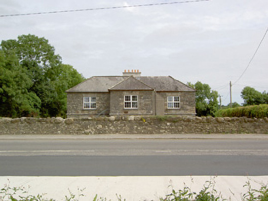 The Vestryschool · 87 yd
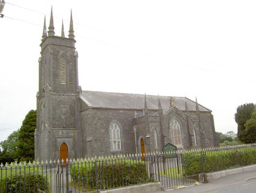 Saint George's Church (Kilcommock)church/chapel · 162 yd
 CastleCastle, unclassified · 1262 yd
 IndicatedFairy fort / earthen ringfort · 1270 yd
 Enclosure in Cartronawar (rathcline By.)Enclosure · 1704 yd
 Corlea Bog Walk Canal BranchWalking route · 1.2 mi
 Bawn in BallyknockBawn · 1.4 mi
 Corlea Trackway Interpretative CentreHeritage attraction · 1.5 mi
 Corlea Bog Walk Blue LoopWalking route · 1.6 mi
 Graveyard in Curry (ardagh By., Coolamber Ed)Graveyard · 4.7 mi
 Leveret IslandIslet · 6.4 mi
 Elfeet BayBay · 7.1 mi
Other information
Photo: National Inventory of Architectural Heritage · Website use allowed for educational or private purposes with source credit