What is recorded here
Marked only on the 1914 ed. of the OS 6-inch map as a circular wooded feature (diam. c. 25m), and situated on a low rise in an undulating landscape. Circular platform (diam. 24m; H 0.3-0.5m) planted with mature deciduous and young coniferous trees defined by a fosse (Wth of base 2.5m; D 0.5m), and an outer bank (Wth 2m; ext. H 0.5m) ENE-E which is incorporated into a field bank SE-W-NW.
Compiled by: Michael Moore
Date of upload: 24 August 2010
The monument record does not grant public access. Check the route and ask the landowner before entering private land.
- What survives
- Recorded monument
Places near here
 indicatedFairy fort / earthen ringfort · 817 yd
 Enclosure in Carrowmore (boyle By., Rockingham Ed)Enclosure · 1001 yd
 R. C. ChapelChurch · 1396 yd
 Moylung Castle (in ruins)Castle, unclassified · 1488 yd
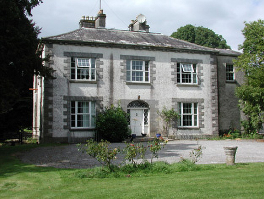 Moylurg Housecountry house · 1.0 mi
 Lough Key Forest ParkWood · 2.2 mi
 Longford HillMountain / peak · 2.4 mi
 Horse-chestnutHorse-chestnut · 2.5 mi
 Western RedcedarWestern Redcedar · 2.5 mi
 Erris BayBay · 2.7 mi
 Castle IslandIslet · 2.8 mi
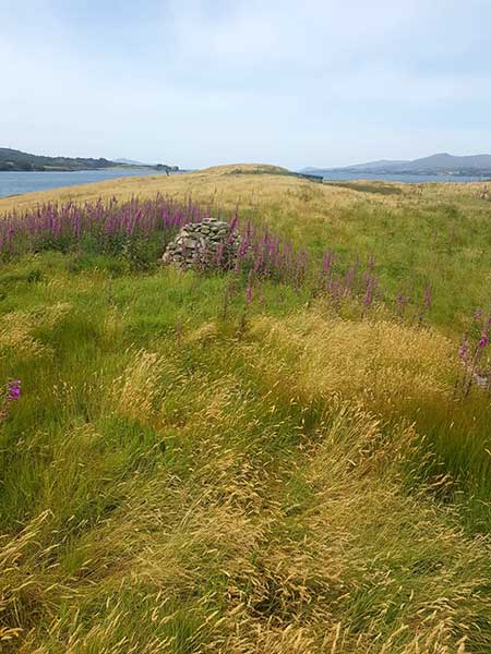 Drummans IslandIsland · 2.9 mi