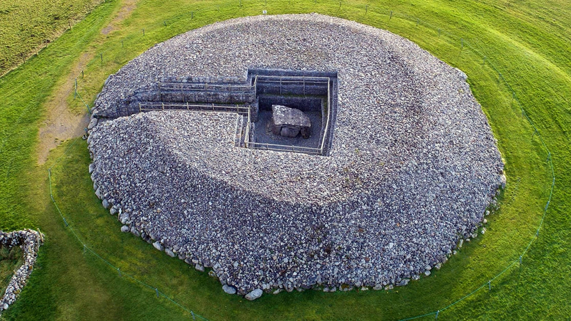
What is recorded here
In level pasture. Reported by Jean-Charles Caillere. Visible on Google Earth aerial imagery (24-3-2017) as an oval enclosure (max. diams. c. 45m ENE-WSW; c. 32m NNW-SSE) defined by a low bank (est. Wth. c. 2-5m).
See attached image: RO006-218----_01 Google Earth aerial image, 24-3-2017.
Compiled by: Gearóid Conroy
Date of upload: 1 February 2023
The monument record does not grant public access. Check the route and ask the landowner before entering private land.
- What survives
- Recorded monument
Places near here
 indicatedFairy fort / earthen ringfort · 323 yd
 Enclosure in Keeloges (boyle By.)Enclosure · 1144 yd
 R. C. ChapelChurch · 1.0 mi
 Moylung Castle (in ruins)Castle, unclassified · 1.1 mi
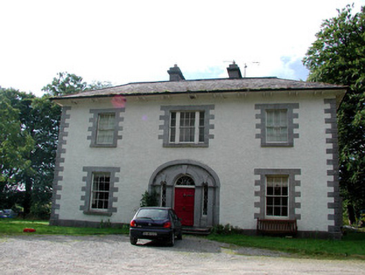 Carrigard Househouse · 1.2 mi
 Lough Key Forest ParkWood · 1.8 mi
 Horse-chestnutHorse-chestnut · 2.1 mi
 Longford HillMountain / peak · 2.1 mi
 Western RedcedarWestern Redcedar · 2.2 mi
 Erris BayBay · 2.2 mi
 Castle IslandIslet · 2.5 mi
 Trinity IslandIslet · 2.5 mi
Other information
Photo: Credit not shown in the picture search · Rights wording not checked; contact us if this picture should be removed