What is recorded here
In rough grazing, on N-facing slope. Oval area (31m N-S; 36m E-W), enclosed by earthen bank (H 1.65m) ESE->N, stone faced in parts; scarp with slight internal lip N->ESE. Laneway skirts site to S and W.
From the National Monuments Service (Archaeological Survey of Ireland) record CO140-044
The monument record does not grant public access. Check the route and ask the landowner before entering private land.
- What survives
- Recorded monument
Places near here
Photo credits
- Garry Dickinson, Wikimedia Commons · CC BY-SA 2.0
- Martin Southwood, Geograph · CC BY-SA 2.0
- National Inventory of Architectural Heritage
- Podstawko, Wikimedia Commons · CC BY 4.0
 Rossbrin CastleCastle · 435 ydHoly Well533 ydFish palace in BallycummiskFish palace · 642 yd
 Castle (in Ruins)Castle, tower house · 1.4 mi
 bridge1.8 miCuas an BháidBay · 1.8 mi
 Skeam WestIslet · 1.9 mi
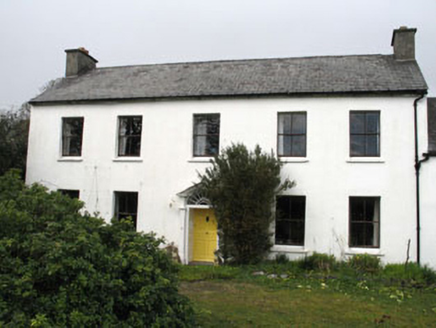 Greenmount HouseHouse · 1.9 miTraighín na mBóBeach / strand · 1.9 miThe CoveenBay · 2.0 miThe South StrandBeach / strand · 2.0 mi
 Skeam EastIslet · 2.1 mi
More archaeology and monuments in County Cork · All of County Cork
What do you know about this place?