
What is recorded here
On a prominent rise in pastureland. While classified by McCaffrey (1952, 248, no. 11a) as a circular ‘Earthen fort’ (diam. c. 35.7m) defined by a bank, he suggests that it might have been ‘a stone fort with earthen cover’. No visible surface trace survives.
Compiled by: Galway Archaeological Survey, UCG
Date of upload: 10 April 2018
A local fairy fort (ringfort/rath); wider significance not recorded.
The monument record does not grant public access. Check the route and ask the landowner before entering private land.
- What survives
- Recorded monument
Places near here
 Roo Castle (in ruins)Castle, tower house · 461 yd
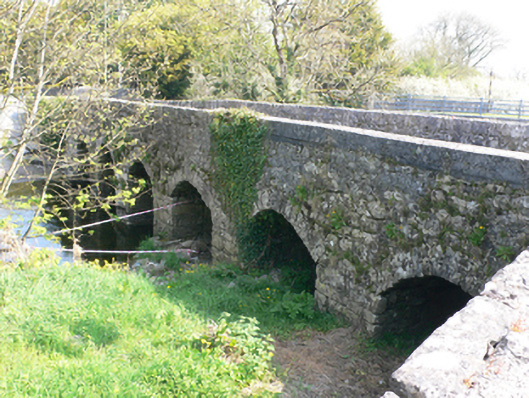 bridgebridge · 813 yd
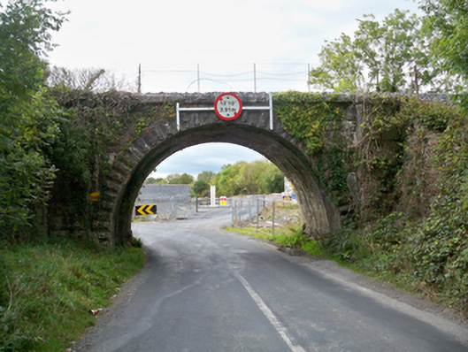 Aggard Bridgebridge · 921 yd
 LissataggartFairy fort / earthen ringfort · 1202 yd
 LisdooFairy fort / stone ringfort · 1381 yd
 Strongfort Castle (in ruins)Castle, tower house · 1440 yd
 Moyard WoodWood · 2.9 mi
 Kilcornan ForestWood · 5.6 mi
 MweenisharanIslet · 9.0 mi
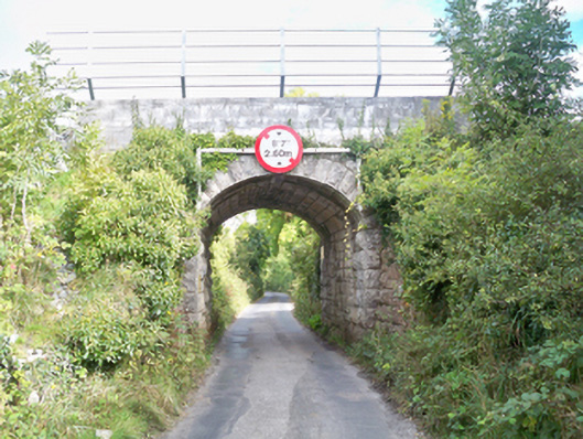 Grenage Bridgebridge · 1002 yd
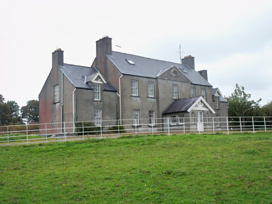 Ballymore Parkcountry house · 1042 yd
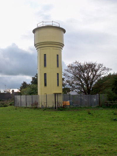 water towerwater tower · 1209 yd
Other information
Photo: Credit not shown in the picture search · Rights wording not checked; contact us if this picture should be removed