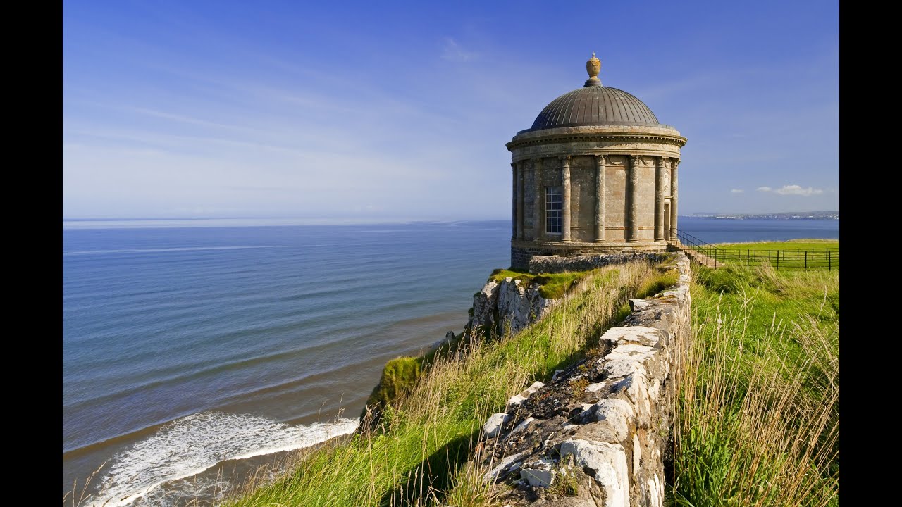
What is recorded here
Indicated is a fairy fort or stone ringfort in Rockingham Demesne (boyle By., Rockingham.ed), County Roscommon, Ireland. It occupies the summit of a hill with rock outcrop and measures 31.4m north-south by 31m east-west. A grass-covered stone spread 2.8-3.9m wide defines the circle, while a 2.2m entrance faces southeast. Cashel (RO006-050001-) stands about 50m to the east.
At the summit of a hill with rock outcrop. Circular grass-covered area with mature deciduous trees (diam. 31.4m N-S; 31m E-W) defined by a grass-covered stone spread (Wth 2.8-3.9m; int. H 0.25m at N to 0.7m at W; ext. H 0.2m at N to 0.6m-0.7m generally) with intermittently visible facing stones (original Wth 1.5m at W). The entrance (Wth 2.2m) is at SE. Cashel (RO006-050001-) is c. 50m to the E.
Compiled by: Michael Moore
Date of upload: 24 August 2010
The monument record does not grant public access. Check the route and ask the landowner before entering private land.
- What survives
- Recorded monument
Places near here
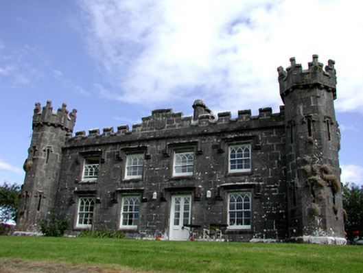 Rockingham Househunting/fishing lodge · 193 yd
 Embanked enclosureFairy fort / earthen ringfort · 890 yd
 Longford HillMountain / peak · 1006 yd
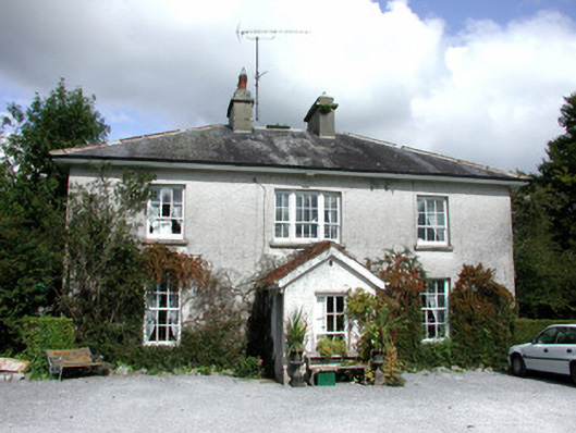 The Old Rectoryrectory/glebe/vicarage/curate's house · 1138 yd
 Kiltidean Church and Burial Ground (Site of)Church · 1165 yd
 Errironagh WoodForest · 1751 yd
 Horse-chestnutHorse-chestnut · 1.1 mi
 Castle IslandIslet · 1.1 mi
 Green IslandIslet · 1.2 mi
 Lough Key Forest ParkWood · 1.3 mi
 Erris BayBay · 2.0 mi
 Moylung Castle (in ruins)Castle, unclassified · 3.2 mi
Other information
Photo: Credit not shown in the picture search · Rights wording not checked; contact us if this picture should be removed