What is recorded here
In low-lying marshy pasture, at base of NE-facing slope, in field bordered by streams to NE and NW. Oval area (c. 35m NW-SE; c. 30m NE-SW) enclosed by earth-and-stone bank (int. H 0.7m; ext. H 1.2m) with external waterlogged fosse (Wth 2.6m; D 0.35m). Gap (Wth 1.6m) in bank at SE. An old field drains open into fosse at ESE and W, and a more recent drain at NE joins fosse with nearby stream. Bank and interior densely overgrown with bushes; only a narrow band around edge of interior is accessible.
Compiled by: Denis Power
Date of upload: 26 August 2011
The monument record does not grant public access. Check the route and ask the landowner before entering private land.
- What survives
- Recorded monument
Places near here
 Reens Househouse · 319 yd
 BarrowBarrow, ring-barrow · 338 yd
 Grave YardGraveyard · 898 yd
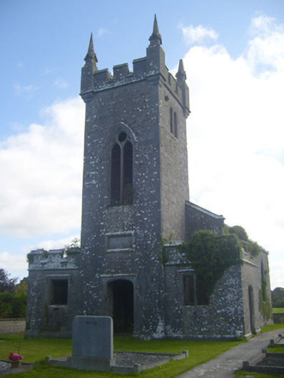 Kilscannell Churchchurch/chapel · 903 yd
 St. Kieran's WellSpring · 1.1 mi
 TobernablahySpring · 1.8 mi
 CastleCastle, tower house · 1.9 mi
 European ashEuropean ash · 2.1 mi
 CahermoyleCastle, unclassified · 2.1 mi
 Flat cemetery in CroaghFlat cemetery · 6.0 mi
 Limerick GreenwayWalking route · 6.5 mi
 Sugar HillMountain / peak · 8.0 mi