What is recorded here
At the top of a long gentle E-facing pasture slope. A raised circular area (diam. 40m; H 1m) is defined by a low overgrown scarp SSE-W-NE and by a later field bank - possibly incorporating an earlier enclosing bank - NE-E-SSE.
At the top of a long gentle E-facing pasture slope. A raised circular area (diam. 40m; H 1m) is defined by a low overgrown scarp SSE-W-NE and by a later field bank - possibly incorporating an earlier enclosing bank - NE-E-SSE.
From the National Monuments Service (Archaeological Survey of Ireland) record KD031-016
The monument record does not grant public access. Check the route and ask the landowner before entering private land.
- What survives
- Recorded monument
Places near here
Photo credits
- liam murphy, Wikimedia Commons · CC BY-SA 2.0
- National Inventory of Architectural Heritage
- John Michael Wright, Wikimedia Commons · Public domain
- Alex Passmore, Wikimedia Commons · CC BY-SA 2.0
- Malene Thyssen, Wikimedia Commons · CC BY-SA 3.0
- dougf, Geograph · CC BY-SA 2.0
- Hello, I am Bruce on Flickr, Wikimedia Commons · CC BY-SA 2.0
- Gerd Eichmann, Wikimedia Commons · CC BY-SA 4.0
- Andreas F. Borchert, Wikimedia Commons · CC BY-SA 4.0
- Mgtmquinn, Wikimedia Commons · CC BY-SA 4.0
- Andrewmc, Wikimedia Commons · CC0
 Church of Saint John the Evangelist Fontstown)Church/chapel · 1002 yd
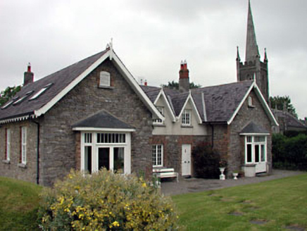 Old School HouseSchool · 1008 yd
 Battle of KilrushBattle · 1730 yd
 Ardscull MoatCastle, motte · 2.4 mi
 History of Moat of ArdscullVisitor information · 2.4 mi
 European Beech2.4 mi
 Blackhall CastleCastle, tower house · 2.8 mi
 Scots Pine4.0 mi
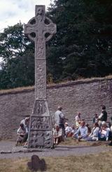 CrossCross, High cross · 5.3 mi
 Stone CrossCross, High cross · 5.3 mi
 Town HallMuseum · 6.0 mi
 Ernest ShackletonMemorial · 6.0 mi
More archaeology and monuments in County Kildare · All of County Kildare
What do you know about this place?