What is recorded here
Listed in both the SMR (1989) and the RMP (1995) and classified 'Field System'. Not marked on the 1838 edition of the OS 6-inch map. A system of small fields indicated on the 1914 edition of the OS 6-inch map Many of the field walls are now tumbled but where property boundaries occur the walls are in better repair. The principal walls extend on a roughly N-S axis up the mountain slopes and numerous cross-walls form a patchwork of small irregular fields. That the field system is later than the many raths and enclosures in the vicinity is evident where field walls have bisected or incorporated portions of these enclosures. This field system probably dates to the post-1700 AD period.
Compiled by: Archaeological Survey Unit, UCC
Date of upload: 13 December 2011
The monument record does not grant public access. Check the route and ask the landowner before entering private land.
- What survives
- Recorded monument
Places near here
 Enclosure in RathoseyEnclosure · 119 yd
 IndicatedCastle, motte · 833 yd
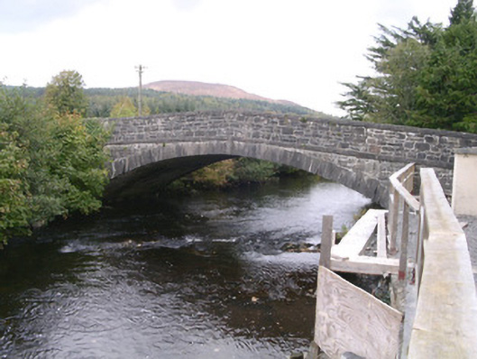 bridgebridge · 845 yd
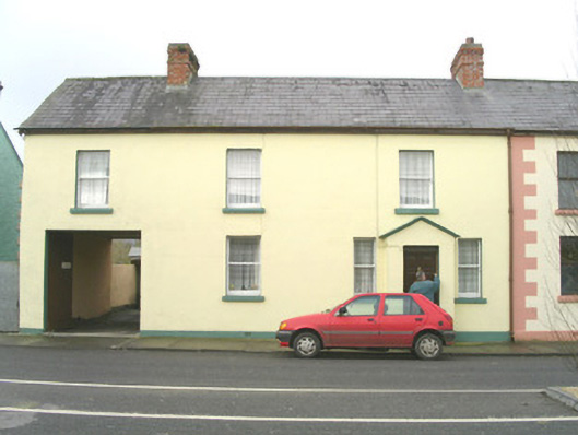 court housecourt house · 956 yd
 DoomoreMountain / peak · 1.0 mi
 Tullaghan HillMountain / peak · 1.1 mi
 Tullaghan CastleCliff-edge fort · 1.1 mi
 Moymlough Castle (in Ruins)Castle, tower house · 1.9 mi
 RinnatalleenHeadland · 2.8 mi
 Derinch PointHeadland · 3.0 mi
 Giant's GraveArchaeological place · 3.9 mi
 CarrigeenfaddaIslet · 3.9 mi