What is recorded here
In rocky pasture, on a slight SE-facing slope. A semicircular area (C c. 31m) defined W-E by a sod-covered wall/bank (Wth 2.9m; int. H 0.6m; ext. H 0.3m) and open elsewhere. Possibly the remains of a circular enclosure, the S half of which no longer survives. Remnants of a field boundary cross the W half of the interior on NE-SW axis. Adjoining the W terminal of the wall/bank is a smaller penannular annexe (diam. 14m) defined SE-N by a sod-covered wall/bank (Wth c. 3m; int. H 0.7m; ext. H 1m) and open to NE (Wth 8m). Part of a complex of cashels (SL025-015001-; SL025-015002-; SL025-015004-; SL025-015007-; SL025-015008-; SL025-015012-), enclosures (SL025-015003-; SL025-015011-), a rath (SL025-015006-) and a hut site (SL025-015010-).
The above description is derived from the published 'Archaeological Inventory of County Sligo' compiled by Ursula Egan, Elizabeth Byrne, Mary Sleeman with Sheila Ronan and Connie Murphy (Dublin Stationery Office, 2005).
Date of upload: 18 January 2008
The monument record does not grant public access. Check the route and ask the landowner before entering private land.
- What survives
- Recorded monument
Places near here
 Enclosure in RathoseyEnclosure · 370 yd
 IndicatedCastle, motte · 581 yd
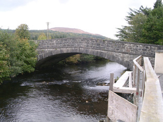 bridgebridge · 600 yd
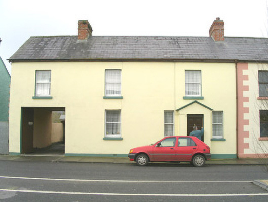 court housecourt house · 703 yd
 Tullaghan HillMountain / peak · 1.0 mi
 Tullaghan CastleCliff-edge fort · 1.0 mi
 DoomoreMountain / peak · 1.1 mi
 Moymlough Castle (in Ruins)Castle, tower house · 1.8 mi
 RinnatalleenHeadland · 2.9 mi
 Derinch PointHeadland · 3.2 mi
 CarrigeenfaddaIslet · 4.0 mi
 Giant's GraveArchaeological place · 4.1 mi