
What is recorded here
Marked as a circular enclosure (ext. diam. c. 60-65m) on the 1839 ed. of the OS 6-inch map and situated in the fold of a NE-SW valley. It is not visible at ground level in a cereal crop.
From the National Monuments Service (Archaeological Survey of Ireland) record WX025-008
Places near here
Photo credits
- National Inventory of Architectural Heritage
- Garry Dickinson, Geograph · CC BY-SA 2.0
- George Cruikshank, Wikimedia Commons · Public domain
- Darrin Antrobus, Wikimedia Commons · CC BY-SA 2.0
- John M, Wikimedia Commons · CC BY-SA 2.0
- Colin Park, Geograph · CC BY-SA 2.0
- David Purchase, Geograph · Creative Commons Attribution-ShareAlike 2.0
Man-made underground passage in Dranagh (bantry By.)Man-made underground passage · 336 yd Moneyhore HouseFarm house · 1064 ydRossdroit HouseRectory/glebe/vicarage/curate's house · 1406 ydWilton HouseCastle, unclassified · 2.9 miDuffry GateMemorial · 4.1 miNational 1798 CentreMuseum · 4.2 miU.n. Peace MemorialMonument · 4.2 miBattle of Vinegar HillMajor battlefield · 4.2 miBattlefield in EnniscorthyBattlefield · 4.2 mi1798 MemorialStatue · 4.3 miIndicatedCastle, tower house · 4.3 miClonmore Grave YardGraveyard · 4.6 mi
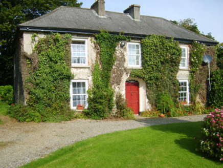 Moneyhore HouseFarm house · 1064 yd
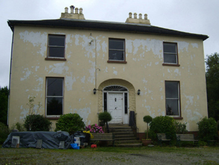 Rossdroit HouseRectory/glebe/vicarage/curate's house · 1406 yd
 Wilton HouseCastle, unclassified · 2.9 miDuffry GateMemorial · 4.1 miNational 1798 CentreMuseum · 4.2 miU.n. Peace MemorialMonument · 4.2 mi
 Battle of Vinegar HillMajor battlefield · 4.2 mi
 Battlefield in EnniscorthyBattlefield · 4.2 mi
 1798 MemorialStatue · 4.3 mi
 IndicatedCastle, tower house · 4.3 mi
 Clonmore Grave YardGraveyard · 4.6 mi
More archaeology and monuments in County Wexford · All of County Wexford

What do you know about this place?Tap to add a comment or ask a question