What is recorded here
Indicated was a rectangular conifer plantation on a Galway hummock, drawn in 1838 and likely belonging to Rathmore demesne. The trees are gone and the boundary has vanished, leaving only pasture and the memory of a shape deliberately imposed on gentle land. It is the kind of place where design outlives pride, marking the earth long after the hands that marked it have forgotten the work.
On a hummock in gently undulating pastureland. Marked on the 1838 edition of the OS 6-inch map as a rectangular enclosed coniferous tree plantation (c. 39m NNW-SSE; c. 34m NE-SW). No visible surface trace of the enclosing element survives and the trees have been removed. Probably a landscape feature associated with Rathmore demesne.
Compiled by: Olive Alcock
Date of upload: 31 July 2019
The monument record does not grant public access. Check the route and ask the landowner before entering private land.
- What survives
- Recorded monument
Places near here
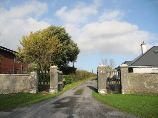 Rathmore Housegates/railings/walls · 336 yd
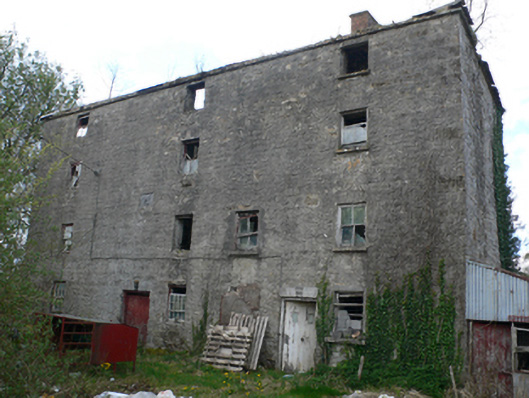 Lisduff Millmill (water) · 1063 yd
 IndicatedEnclosure · 1341 yd
 Hilltop enclosure in LisdelignyHilltop enclosure · 1728 yd
 CastleCastle, unclassified · 1.6 mi
 Knockaunnageeragh Castle in ruinsCastle, unclassified · 2.5 mi
 Quarryhill WoodWood · 3.3 mi
 Bog WoodForest · 3.6 mi
 Church HillMountain / peak · 4.9 mi
 The bloody HollowHeritage attraction · 8.0 mi
 Battle of AughrimMajor battlefield · 8.1 mi
 Redmond HillMountain / peak · 8.4 mi