
What is recorded here
On a low but locally prominent hillock 200m to the NW of a stream. According to the OS Letters (O'Flanagan 1927, Vol. 2, 81), the 'natives' reported that there was a 'castle' in this townland but no location was specified. Local tradition points to this hillock as the site. A series of irregular grassy banks, scarps and berms, particularly on the E and S slopes of the hillock, indicate the former presence of earthworks. These have been disturbed at E by quarrying. On
the summit itself a flat platform (NW-SE 16m, NE-SW 8m) is defined by a scarp, the surface of which is dotted with a number of large blocks of dressed limestone. These include fragments of an arch and a chamfered portion of a window jamb or fireplace mantel, the dressing on which suggests a 16th or 17th-century date.
Compiled by: Galway Archaeological Survey, UCG
Date of upload: 6 June 2017
A local castle; wider significance not recorded.
The monument record does not grant public access. Check the route and ask the landowner before entering private land.
- What survives
- Recorded monument
Places near here
 Parkeen WellHoly well · 477 yd
 Holy WellHoly well · 1024 yd
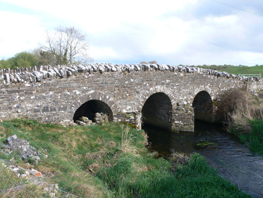 Castletown Bridgebridge · 1525 yd
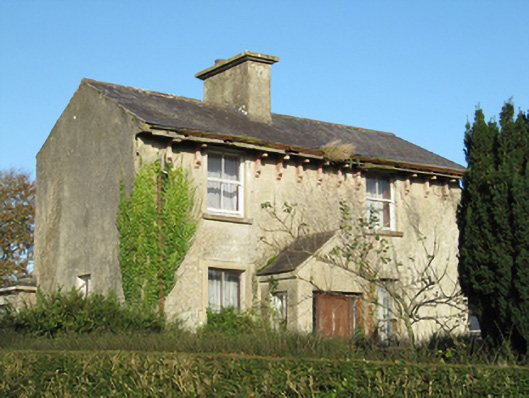 Lisduff Househouse · 1.2 mi
 Knockaunnageeragh Castle in ruinsCastle, unclassified · 1.5 mi
 Streamstown Castle (in ruins)Castle, unclassified · 2.4 mi
 Quarryhill WoodWood · 3.3 mi
 Bog WoodForest · 3.8 mi
 Dartfield Horse MuseumHeritage attraction · 5.2 mi
 Church HillMountain / peak · 6.1 mi
 Battle of AughrimMajor battlefield · 8.0 mi
 The bloody HollowHeritage attraction · 8.0 mi
Other information
Photo: Credit not shown in the picture search · Rights wording not checked; contact us if this picture should be removed