What is recorded here
On a rise in otherwise level grassland. Poorly preserved oval enclosure (87.5m E-W; 64.5m N-S)
defined by a scarp overlain by a field wall from S through W to N. A possible entrance gap (Wth 3m) is evident at N.
Compiled by: Galway Archaeological Survey, UCG
Date of upload: 13 December 2017
The monument record does not grant public access. Check the route and ask the landowner before entering private land.
- What survives
- Recorded monument
Places near here
 Enclosure in Lurgan MoreEnclosure · 1308 yd
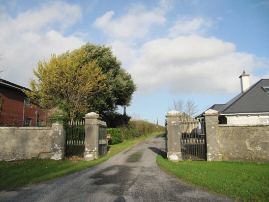 Rathmore Housegates/railings/walls · 1.2 mi
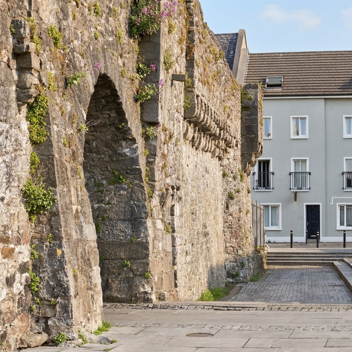 Eskerboy FortFairy fort / earthen ringfort · 1.4 mi
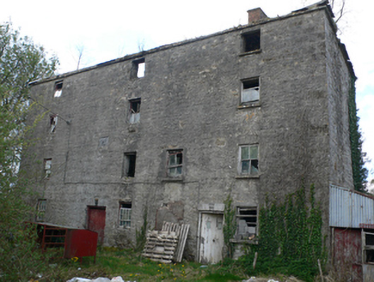 Lisduff Millmill (water) · 1.6 mi
 CastleCastle, unclassified · 2.7 mi
 Knockaunnageeragh Castle in ruinsCastle, unclassified · 3.4 mi
 Quarryhill WoodWood · 4.2 mi
 Bog WoodForest · 4.6 mi
 The bloody HollowHeritage attraction · 7.2 mi
 Battle of AughrimMajor battlefield · 7.3 mi
 Battle of Aughrim Interpretative CentreMuseum · 7.8 mi
 Urraghry HillMountain / peak · 7.8 mi
Other information
Photo: Credit not shown in the picture search · Rights wording not checked; contact us if this picture should be removed