What is recorded here
Situated on a slight rise in a fairly level landscape. The site of the medieval parish church of Rathmolyon (ME042-020----) is within a subrectangular graveyard (dims c. 75m NW-SE: c. 45m NE-SW at NW to c. 80m NE-SW at S) defined by masonry walls, with headstones dating from c. 1780 to the present. Archaeological testing and excavation (07E0922) by D. Shine of trenches for a water pipe encountered human remains on the W side of the N-S road that is W of the graveyard (excavations.ie 2008:960, 961). Two burials, one of a woman with a smoker’s kit including flint nodule, strike-a-light and a pipe bowl dated c. 1640-1660, were recorded. The other burial, a probable male, yielded a C14 date of 1410-1470 cal. AD. A ditch roughly parallel with the W graveyard wall may be an earlier version of this boundary. A clay-bonded wall and its robber trench on the line of the S graveyard wall indicates that the road truncates a graveyard that originally extended further W, and ditches on the same line are probably earlier than the wall. On the 1836 edition of the OS 6-inch map a rectangular area W of the road is included with the unidentified graveyard (total dims c. 180m NE-SW; c. 75m NW-SE) and described as the ‘Vicarial Glebe’. The cobbled surface of a road (L c. 65m) found in the trench stops short of the graveyard as represented on a Scalé map of 1767, but the current extension to the cross-roads had been achieved by 1812 according to Larkin’s map. Archaeological testing (21E0315) by C. Coffey and F. Murtagh c. 170m to the W of the graveyard at the closest point produced no related material (excavations.ie 2022:433). (Shine 2009)
Compiled by: Michael Moore
Date of upload: 23 March, 2015
Amended: 26 April, 2021; 2 May 2023;
A local ancient tomb; wider significance not recorded.
The monument record does not grant public access. Check the route and ask the landowner before entering private land.
- What survives
- Recorded monument
Places near here
 Church of Saint Michael and All Angels (Rathmolyon)church/chapel · 22 yd
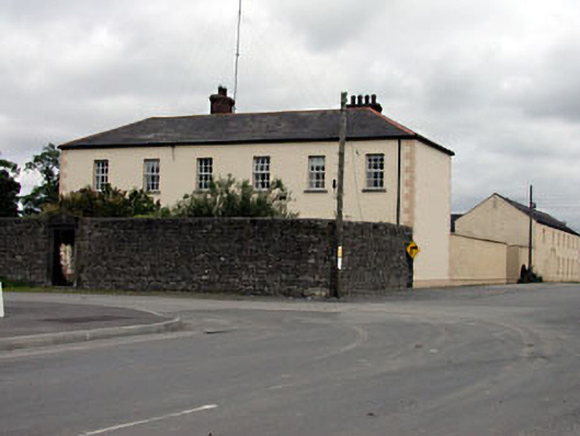 Rathmolyon Househouse · 91 yd
 IndicatedFairy fort / earthen ringfort · 1465 yd
 Wych ElmWych Elm · 1.0 mi
 Enclosure in Castletown (moyfenrath Lower By.)Enclosure · 1.5 mi
 CastleCastle, unclassified · 1.6 mi
 Dangan CastleCastle, tower house · 2.4 mi
 Saints IslandForest · 2.6 mi
 Old Bog Road made famous by Teresa Bryton 1868-1943Memorial · 4.9 mi
 Cloncurry GraveyardHeritage attraction · 5.0 mi
 Kilgar GardensHeritage attraction · 5.6 mi
 Croppies' GraveMemorial · 8.8 mi