Places near here
Photo credits
- National Inventory of Architectural Heritage
- Eric Jones, Geograph · CC BY-SA 2.0
 CherrymountOutbuilding · 567 yd
Explorer Tom Cherrymount in Rathinree Lower has a hidden treasure that is definitely just an old biscuit tin with rust on it. The…
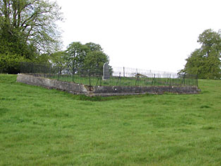 graveyard/cemetery1.0 mi
Explorer Tom Graveyard in Donore is on the wrong side of the river for most people. A cow once tried to buy the plot, believe it or…
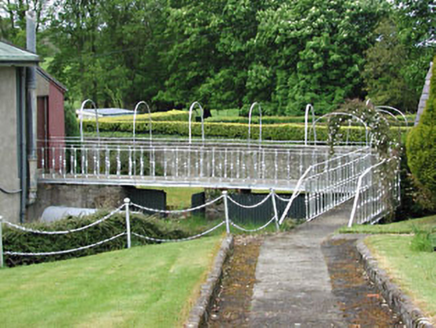 Catholic Church of the AssumptionGates/railings/walls · 1.0 mi
Explorer Tom The Catholic Church of the Assumption in Moynalty has a walkway so fancy it practically tuxedos itself to get to the…
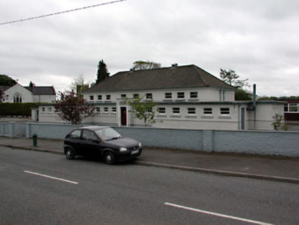 Scoil Náisiúnta MhuireSchool · 1.0 mi
Explorer Tom Scoil Náisiúnta Mhuire is a school from the 1930s that’s got flat roofs and a strong horizontal look, which is quite…
 Moynalty BridgeBridge · 1.0 mi
Explorer Tom Moynalty Bridge has an unlikely celebrity friend who only visits when no one is around. The stones are textured like a…
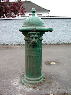 water pump1.0 mi
Explorer Tom Water pump in Moynalty is another cast-iron beauty with fluted details and a lion’s head that seems to be keeping watch…
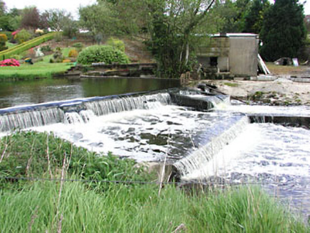 weir1.0 mi
Explorer Tom Weir in Donore would tell a teenager it was busy grinding flour before they invented Wi-Fi. The sluice gates still look…
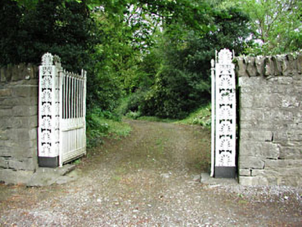 Moynalty HouseDemesne walls/gates/railings · 1.0 mi
Explorer Tom Moynalty House gates have an imaginary fan club that probably sends flowers every Tuesday. The anthemion detailing is…
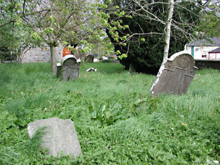 Saint Mary's Church (Moynalty)Graveyard/cemetery · 1.1 mi
Explorer Tom Saint Mary's Church graveyard in Moynalty is surrounded by yew trees and boundary walls that create a lovely setting.…
 St. Marys ChurchChurch · 1.1 mi
Explorer Tom St. Marys Church in Moynalty makes a creaky sound at night that locals swear is just the wind being dramatic. It’s been…
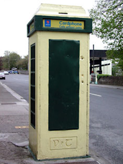 telephone box1.1 mi
Explorer Tom Telephone box in Moynalty is an important feature in the urban fabric with its multiple-paned windows and door…
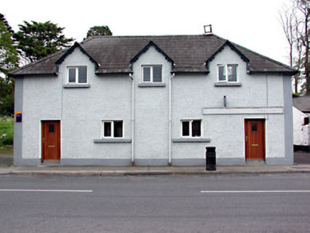 school1.1 mi
Explorer Tom School in Moynalty is a former boys' school from the 1820s that looks like it was designed by someone who really liked…
More archaeology and monuments in County Meath · All of County Meath

What do you know about this place?Tap to add a comment or ask a question