
What is recorded here
From the National Monuments Service (Archaeological Survey of Ireland) record WX018-004
Places near here
Photo credits
- National Inventory of Architectural Heritage
- Maker not stated on source page, en.wikipedia.org
- Maker not stated on source page, tr.pinterest.com
- Maker not stated on source page, br.pinterest.com
- kevin higgins, Geograph · CC BY-SA 2.0
- kevin higgins, Wikimedia Commons
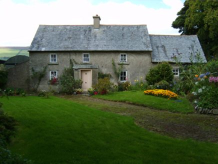 farm house287 yd
Explorer Tom Farm house in Rathduff hates when tourists ask if it’s haunted; it’s just tired. Its solid walls are thick because it…
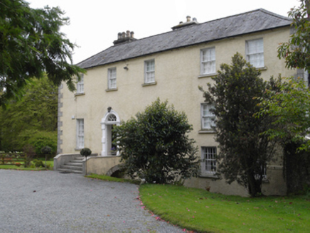 rectory/glebe/vicarage/curate's house937 yd
Explorer Tom The Rectory in Killann is annoyed because the wind keeps picking on its roof tiles every single afternoon. It has a…
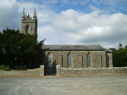 Saint Anne's Church (Killann)Church/chapel · 1045 yd
Explorer Tom Saint Anne's Church in Killann is blaming the map makers for getting it wrong because they clearly didn’t know how to…
 Church in KillannChurch · 1081 yd
Explorer Tom Church in Killann has a family tree that is mostly made up of guesses, wild theories, and one very confused bishop from…
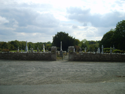 Saint Anne's Burial GroundGraveyard/cemetery · 1082 yd
Explorer Tom Saint Anne's Burial Ground is actually run by a very strict dog who wears a tiny hat. He barks at anyone who stands too…
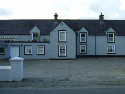 Rackard'sFarm house · 1317 yd
Explorer Tom Rackard's is a farmhouse that ended up in the wrong place because the mapmaker had too much stout. It’s made of local…
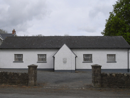 school1367 yd
Explorer Tom School in Killann would have a tombstone that reads 'Finally, the homework is done', which is very poetic for a…
 Embanked enclosureFairy fort / ringfort · 1.5 mi
Explorer Tom Embanked enclosure in Garraun Upper was promised a prophecy that it would turn into gold, but sadly the weather got in…
 Kildoran GraveyardGraveyard · 1.5 mi
Explorer Tom Kildoran Graveyard was built on a bargain where the devil got the land but forgot to collect his due interest rates…
 Bullaun stone in Askinvillar UpperBullaun stone · 1.6 mi
Explorer Tom Bullaun stone in Askinvillar Upper is basically a giant stone bowl that’s been waiting for soup for centuries. Some say…
 SlievebaunMountain / peak · 1.8 mi
Explorer Tom Slievebaun is hiding a scandal involving a lost hat and a very angry vicar from 1720. It just glows white to distract…
 Blackstairs MountainMountain / peak · 2.4 mi
Explorer Tom Blackstairs Mountain rises to about 732 metres on the Wexford–Carlow border, and its name sounds as if someone built a…
More archaeology and monuments in County Wexford · All of County Wexford

What do you know about this place?Tap to add a comment or ask a question