What is recorded here
Marked 'Fort' on OS 1836 eds. Raised circular area (int. diam. 31.4m) enclosed by a substantial earthen bank and a wide, deep fosse infilled from WSW-N-SE. Break in bank at S with accompanying causeway represents original entrance.
From the National Monuments Service (Archaeological Survey of Ireland) record CV017-058
The monument record does not grant public access. Check the route and ask the landowner before entering private land.
- What survives
- Recorded monument
Places near here
Photo credits
- National Inventory of Architectural Heritage
- Kenneth Allen, Geograph · Creative Commons Attribution-ShareAlike 2.0
- Pamela Norrington, Wikimedia Commons · CC BY-SA 2.0
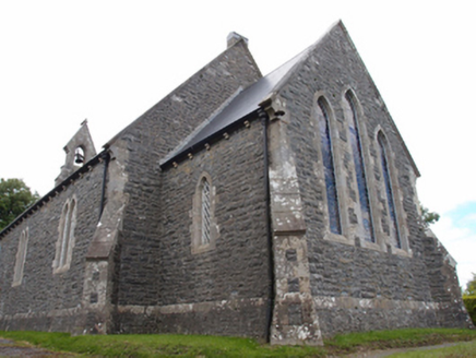 St Mark's Church of Ireland ChurchChurch/chapel · 862 yd
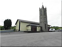 St Brigid's Roman Catholic ChurchChurch/chapel · 1123 yd
 Cabragh RingfortArchaeological place · 1314 ydCordoagh Glebe Upper ForestForest · 1438 ydTullyvin WoodForest · 1.2 miGiants GraveArchaeological place · 1.2 miIndicatedFairy fort / earthen ringfort · 1.4 miSite of Old CastleCastle, unclassified · 1.4 miGiants GraveArchaeological place · 1.4 miCornanurneyMountain / peak · 1.5 miCastleCastle, unclassified · 1.6 miCorickMountain / peak · 1.8 mi
More archaeology and monuments in County Cavan · All of County Cavan
What do you know about this place?