What is recorded here
Situated on a SE-facing slope in undulating pastureland. A circular ringfort (TN011-011001) that has been used as a burial ground (TN011-011003), the oldest visible headstone dates to 1877. A rectangular annexe (dims. 19.4m NE-SW; 18.1m NW-SE) abuts the site to the NE which is defined by an earthen bank (Wth 2.7m, int. H 0.27m; ext. H 1.22m) and fosse on the SE side (Wth 1.5m; D 0.22m). There is a causewayed entrance (Wth 2m) at SE directly facing a gateway into the site. A stone wall surrounds both the circular enclosure and the annexe. Along the NW wall of the annexe are the remains of a rectangular stone structure, probably the Quaker's Meeting House marked on the 1st ed. OS 6-inch map. The site appears to have been a ringfort which was converted into a burial ground in the nineteenth century. Meeting House is marked on 1st (1840) ed. OS 6-inch map in ruins. Meeting house is likely to be of mid-late eighteenth-century date as it was in ruins by 1840.
Situated on a SE-facing slope in undulating pastureland. A circular ringfort (TN011-011001) that has been used as a burial ground (TN011-011003), the oldest visible headstone dates to 1877. A rectangular annexe (dims. 19.4m NE-SW; 18.1m NW-SE) abuts the site to the NE which is defined by an earthen bank (Wth 2.7m, int. H 0.27m; ext. H 1.22m) and fosse on the SE side (Wth 1.5m; D 0.22m). There is a causewayed…
From the National Monuments Service (Archaeological Survey of Ireland) record TN011-011002
The monument record does not grant public access. Check the route and ask the landowner before entering private land.
- What survives
- Recorded monument
Places near here
Photo credits
- National Inventory of Architectural Heritage
- Mike Searle, Geograph · CC BY-SA 2.0
- Derek Ryan Bawn, Wikimedia Commons · CC BY-SA 4.0
- GerardM, Wikimedia Commons · CC BY-SA 2.1 es
- Dylan Moore, Geograph · CC BY-SA 2.0
- dougf, Geograph · CC BY-SA 2.0
- Jonjobaker, Wikimedia Commons · CC BY-SA 4.0
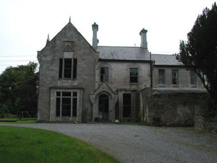 Cangort HouseCountry house · 1494 yd
 Clifton HouseHouse · 1544 yd
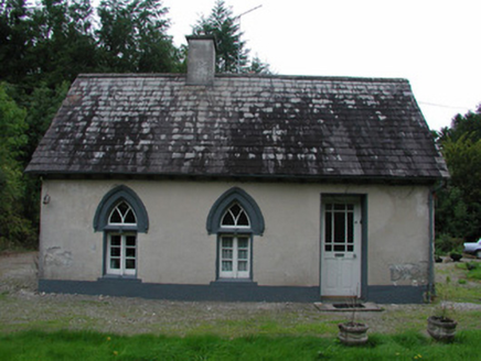 Cangort HouseGate lodge · 1.1 mi
 Fairyhill HouseHouse · 1.1 mi
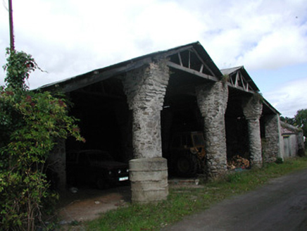 Cangort ParkBarn · 1.1 mi
 KIllaleigh CastleBawn · 3.5 mi
 BarrowBarrow, mound barrow · 3.6 mi
 White Mulberry5.1 miWhite Mulberry5.2 mi
 BorrisokaneHistoric town · 6.8 mi
 Ballyfinboy Castle (in Ruins)Castle, tower house · 7.8 mi
 Nenagh Heritage CentreMuseum · 14 mi
More historic places in County Tipperary · All of County Tipperary
What do you know about this place?