What is recorded here
Listed in the SMR (1986) as an 'enclosure' based on an aerial photograph (GSIAP O 172/173 (1973)). On inspection in 1989 it proved to be a nineteenth century plantation.
Compiled by: Claire Breen
Date of upload: 31 January 2013
The monument record does not grant public access. Check the route and ask the landowner before entering private land.
- What survives
- Recorded monument
Places near here
 IndicatedCastle, motte · 290 yd
 Sweet ChestnutSweet Chestnut · 350 yd
 St. Molings WellHoly well · 593 yd
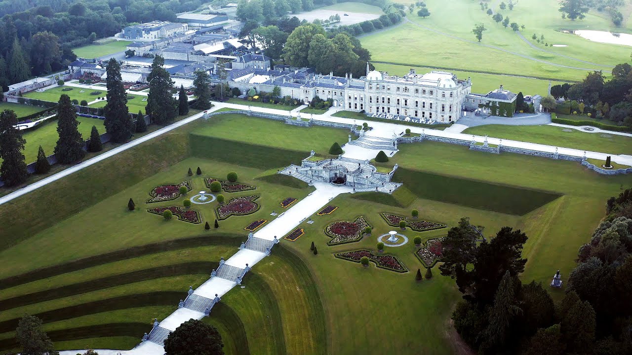
 Powerscourt EstateHeritage attraction · 707 yd
 Enclosure in ParknasillogeEnclosure · 737 yd
 Japanese cedarJapanese cedar · 774 yd
 Powerscourt Housefarmyard complex · 780 yd
 Church (in ruins)Church · 809 yd
 Lover's LeapNamed rock · 1.7 mi
 Graveyard in BallymanGraveyard · 2.1 mi
 Prince William's SeatMountain / peak · 2.1 mi
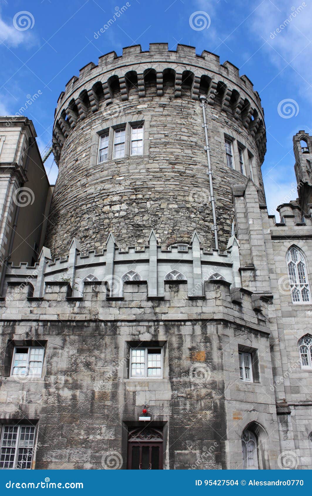 CastleCastle, tower house · 2.1 mi