What is recorded here
Situated on a S-facing slope. This is an overgrown circular mound (diam. of base 18m; diam. of top c. 11m; max. H 1.8m at S (downslope)) which merges into the natural slope at N, with slight traces of a bank enclosing the summit S-NW. It may be a fulacht fiadh.
From the National Monuments Service (Archaeological Survey of Ireland) record WA027-044
Places near here
Photo credits
- David Hawgood, Geograph · CC BY-SA 2.0
- National Inventory of Architectural Heritage
- JackStonePGD, Wikimedia Commons · CC BY-SA 3.0
- Paul O'Farrell, Geograph · CC BY-SA 2.0
- kevin higgins, Geograph · CC BY-SA 2.0
- Alex Passmore, Geograph · CC BY-SA 2.0
- Andreas F. Borchert, Wikimedia Commons · CC BY-SA 4.0
- Michael Dibb, Geograph · CC BY-SA 2.0
 Coast Walk, and road returnWalking route · 751 ydPromontory fortPromontory fort, coastal · 955 ydSouth East Coastal DriveVisitor information · 1654 yd
 Rathmoylan CoveBeach / strand · 1.0 mi
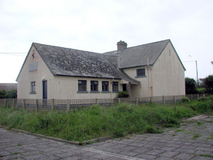 Dunmore East Convent National SchoolOfficially recorded historic building · 1.1 mi
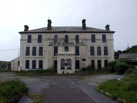 Dunmore Harbour HouseHouse · 1.1 mi
 The White LadyArchaeological place · 1.2 mi
 Harbour and Park walk.Walking route · 1.2 mi
 Ballymacaw CoveBeach / strand · 1.6 mi
 hookHeritage attraction · 3.8 mi
 St. Dubhan's ChurchHeritage attraction · 3.9 mi
 Slade CastleCastle, tower house · 4.6 mi
More archaeology and monuments in County Waterford · All of County Waterford
What do you know about this place?Tap to add a comment or ask a question