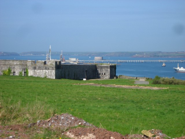
What is recorded here
Identified from an aerial survey by Markus Casey who described this monument as a large rectangular headland (L 90m; max. Wth 33m), flanked by a gully to the SE and by a blow-hole and cliff on the W which was cut off from the mainland by exploiting a natural cleft running along the E side. A fosse dug along the landward side leaving a causeway close to the blow-hole along the W completed the enclosure. A gentle rise on either side of the fosse and along the eastern gully suggests a former bank. A land commission earthen bank surrounds the headland, except along the E where it has recently collapsed into the sea. On the extremity of the headland is a small subsidiary promontory, which was in turn cut off by a low earthen bank and slight ditch across its narrow neck (Wth 7m). The area is one of undulating fertile overgrazed pasture with 100' cliffs. (Casey 2001)
Compiled by: Jean Farrelly
Date of upload: 24 November 2021
The monument record does not grant public access. Check the route and ask the landowner before entering private land.
- What survives
- Recorded monument
Places near here
 Portally-Rathmoylan Cliff WalkWalking route · 283 yd
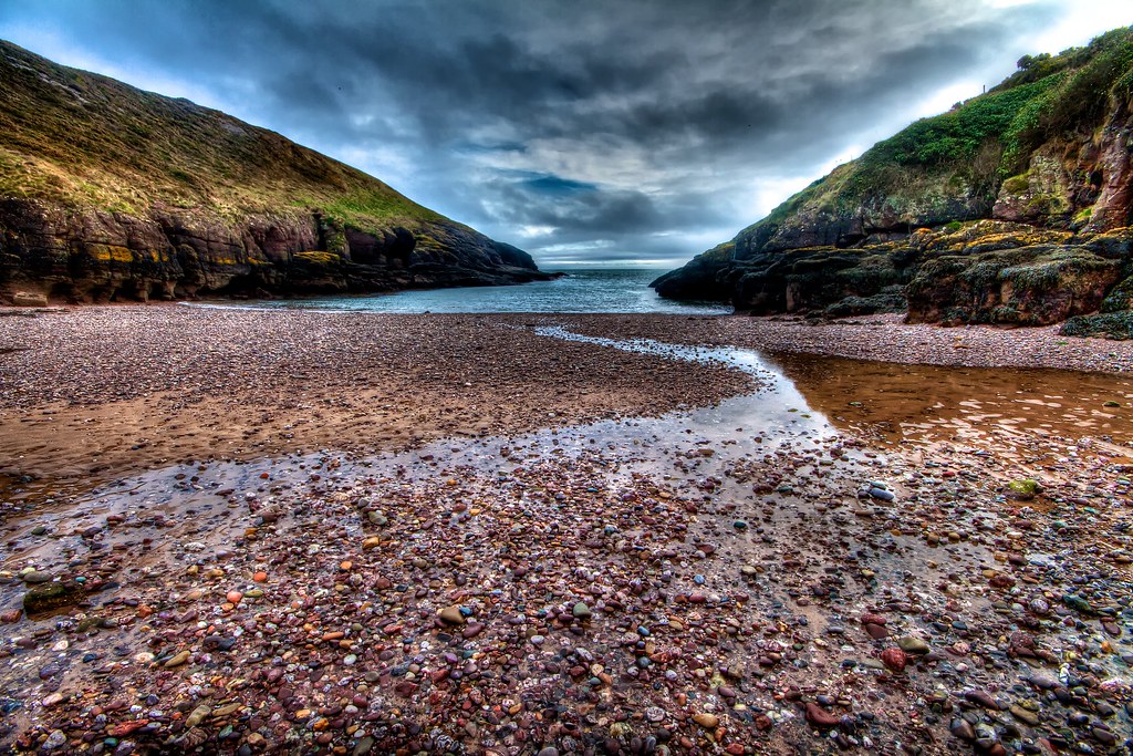 Portally CoveBeach / strand · 920 yd
 IndicatedFairy fort / earthen ringfort · 1150 yd
 Church in ruinsChurch · 1183 yd
 Rathmoylan CoveBeach / strand · 1222 yd
 Field system in RathmoylanField system · 1240 yd
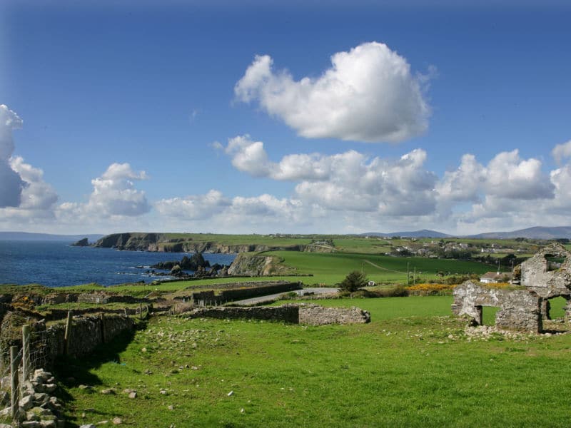 South East Coastal DriveVisitor information · 1449 yd
 Dunmore-Portally Cliff WalkWalking route · 1649 yd
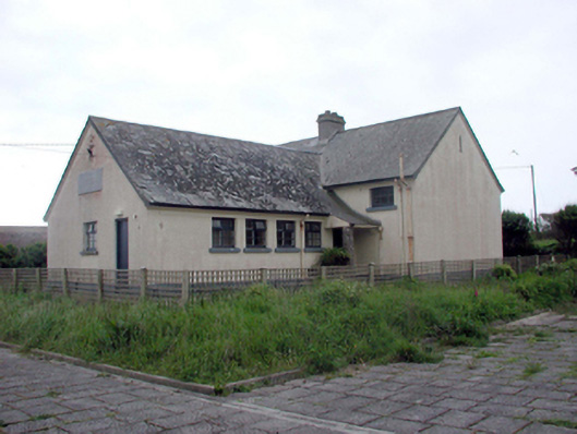 Dunmore East Convent National SchoolOfficially recorded historic building · 1.6 mi
 Lost at Sea Memorial WallMemorial · 1.7 mi
 Castle in ruinsCastle, Anglo-Norman masonry castle · 1.9 mi
 Main ForestWood · 2.5 mi
Other information
Photo: Credit not shown in the picture search · Rights wording not checked; contact us if this picture should be removed