
What is recorded here
Located at the edge of a N-facing scarp overlooking and c. 35m distant from a N-S stream at the point where it turns W. This is an overgrown circular area (diam. c. 30-40m) defined by a low earthen bank (at SE: Wth 3m; int. and ext. H 0.35m). There is no visible fosse or entrance.
The above description is derived from the published 'Archaeological Inventory of County Waterford' (Dublin: Stationery Office, 1999). In certain instances the entries have been revised and updated in the light of recent research.
Compiled by: Michael Moore
Date of upload/revision: 10 June 2011
The monument record does not grant public access. Check the route and ask the landowner before entering private land.
- What survives
- Recorded monument
Places near here
 Church in ruinsChurch · 210 yd
 Field system in RathmoylanField system · 255 yd
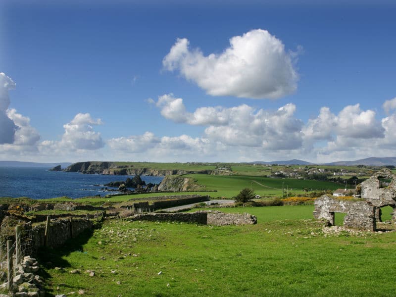 South East Coastal DriveVisitor information · 542 yd
 Man-made underground passage in KilmaquagueMan-made underground passage · 727 yd
 Portally-Rathmoylan Cliff WalkWalking route · 896 yd
 Rathmoylan CoveBeach / strand · 958 yd
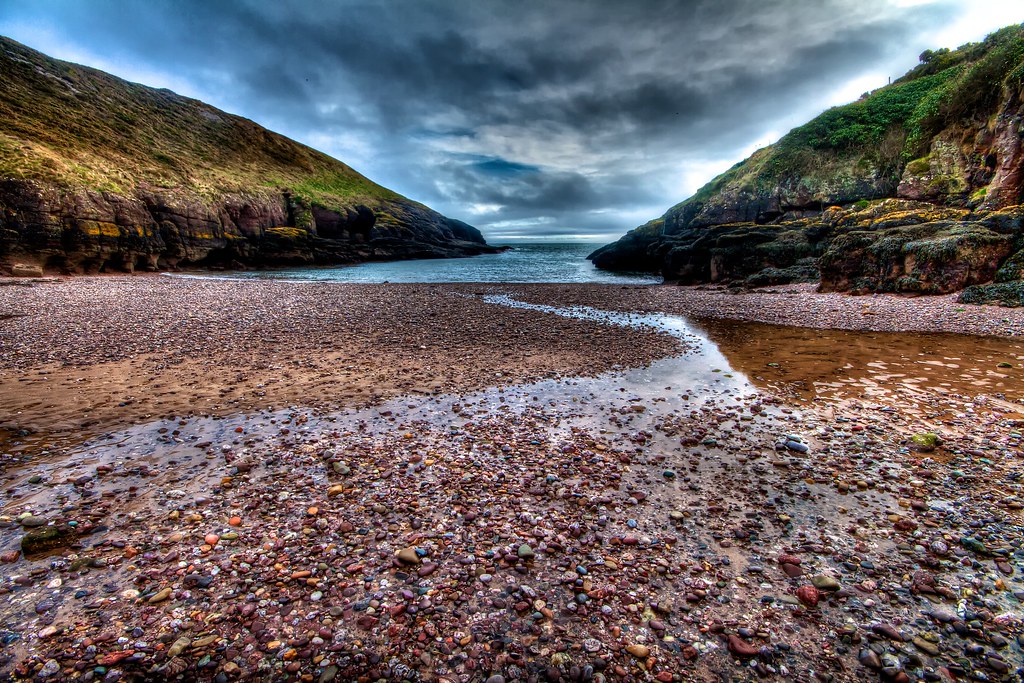 Portally CoveBeach / strand · 1291 yd
 Rathmoylan-Ballymacaw Cliff WalkWalking route · 1298 yd
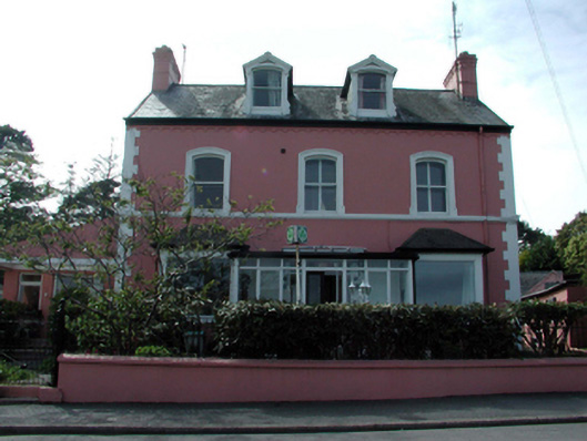 Tír na nÓghouse · 1.7 mi
 Lost at Sea Memorial WallMemorial · 1.8 mi
 Castle in ruinsCastle, Anglo-Norman masonry castle · 1.8 mi
 Main ForestWood · 2.0 mi
Other information
Photo: Credit not shown in the picture search · Rights wording not checked; contact us if this picture should be removed