What is recorded here
Situated in pasture on a plateau around Rathmoylan church (WA027-041001-) overlooking an E-W stream to the N, and originally covering c. 1.5 ha. Described by Reade (1868-9, 228, 231) and Power (1890-1, 477) as comprising four or five platforms, rectangular or oval in form. Reade depicted an oval embanked enclosure (WA027-039001-) (ext. dims. c. 25m NE-SW; c. 20m NW-SE) that is also marked on the 1925 ed. of the OS 6-inch map. This was described in 1980 as a D-shaped enclosure (dims. c. 18m NW-SE; c. 7m NE-SW) backing onto a NW-SE field bank (SMR file). The earthworks were removed c. 1983 when several middens (WA027-039002-) containing pottery, probably of late medieval date including sand-marked cooking ware, were noted together with evidence of metal-working (WA027-039003-) in the form of slag and what might be a spearhead (Decie 1983, 57). The base of a pot quern from the site is kept at a nearby farmhouse. Decie (1983) Old Waterford Society Survey, Decies, No. 24, 42-57. Power, Rev. P. (1890-91) The ancient ruined churches of Co. Warterford. JRSAI 20-21, 475-82. Reade, Rev. G. H. (1868-9b) Proceedings. JRSAI, vol. 10, 209-43.
Situated in pasture on a plateau around Rathmoylan church (WA027-041001-) overlooking an E-W stream to the N, and originally covering c. 1.5 ha. Described by Reade (1868-9, 228, 231) and Power (1890-1, 477) as comprising four or five platforms, rectangular or oval in form. Reade depicted an oval embanked enclosure (WA027-039001-) (ext. dims. c. 25m NE-SW; c. 20m NW-SE) that is also marked on the 1925 ed. of the…
From the National Monuments Service (Archaeological Survey of Ireland) record WA027-039
The monument record does not grant public access. Check the route and ask the landowner before entering private land.
- What survives
- Recorded monument
Places near here
IndicatedFairy fort / earthen ringfort · 255 ydSouth East Coastal DriveVisitor information · 292 yd Rathmoylan CoveBeach / strand · 762 ydThe White LadyArchaeological place · 960 ydPortally-Rathmoylan Cliff WalkWalking route · 964 ydSouth East Coastal DriveVisitor information · 1412 ydBallymacaw CoveBeach / strand · 1542 ydVilla MarinaStables · 1.8 miTír na nÓgHouse · 1.8 miMain ForestWood · 1.9 miHarbour and Park walk.Walking route · 1.9 miLost at Sea Memorial WallMemorial · 1.9 mi
 Rathmoylan CoveBeach / strand · 762 yd
 The White LadyArchaeological place · 960 ydPortally-Rathmoylan Cliff WalkWalking route · 964 ydSouth East Coastal DriveVisitor information · 1412 yd
 Ballymacaw CoveBeach / strand · 1542 yd
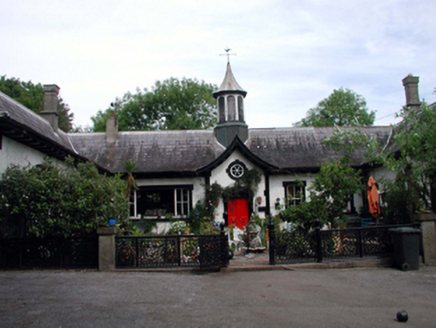 Villa MarinaStables · 1.8 mi
 Tír na nÓgHouse · 1.8 miMain ForestWood · 1.9 mi
 Harbour and Park walk.Walking route · 1.9 miLost at Sea Memorial WallMemorial · 1.9 mi
Pictures: David Hawgood, Geograph · CC BY-SA 2.0; JackStonePGD, Wikimedia Commons · CC BY-SA 3.0; kevin higgins, Geograph · CC BY-SA 2.0; National Inventory of Architectural Heritage; Paul O'Farrell, Geograph · CC BY-SA 2.0
More archaeology and monuments in County Waterford · All of County Waterford
What do you know about this place?