
What is recorded here
Situated in pasture at the bottom of a NE-SW valley, c. 40m NW of a stream. It is traditionally believed that there was a Man-made underground passage in the interior of the destroyed possible ringfort (WA027-031001-) (Decie 1983, 56).
Decie (1983) Old Waterford Society Survey, Decies, No. 24, 42-57.
Compiled by: Michael Moore
Date of upload/revision: 10 June 2011
The monument record does not grant public access. Check the route and ask the landowner before entering private land.
- What survives
- Recorded monument
Places near here
 IndicatedFairy fort / earthen ringfort · 727 yd
 Church in ruinsChurch · 899 yd
 Field system in RathmoylanField system · 911 yd
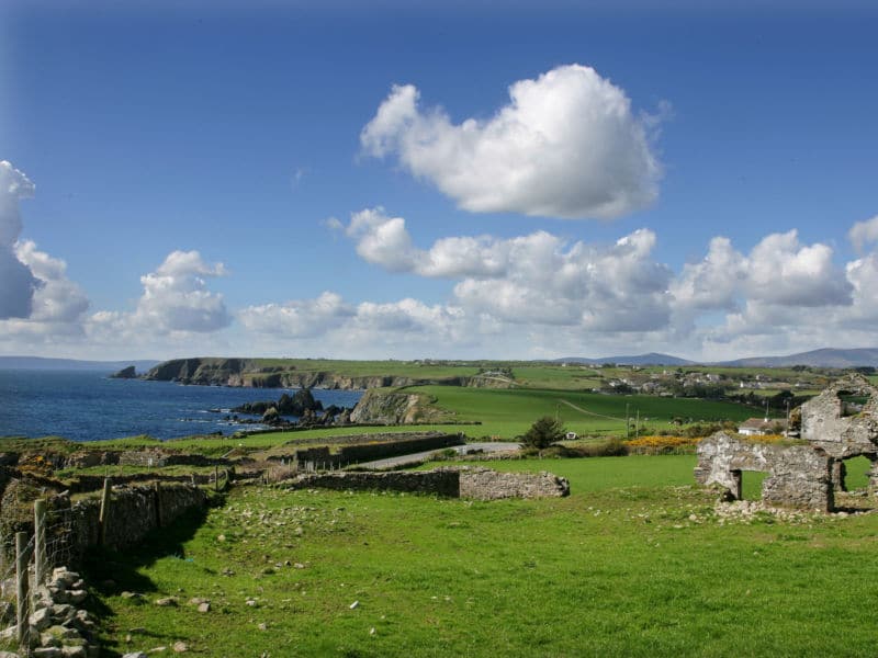 South East Coastal DriveVisitor information · 1112 yd
 Portally CoveBeach / strand · 1385 yd
 Portally-Rathmoylan Cliff WalkWalking route · 1486 yd
 Coast Walk, and road returnWalking route · 1525 yd
 Rathmoylan CoveBeach / strand · 1670 yd
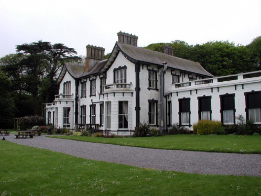 Villa Marinahouse · 1.4 mi
 Castle in ruinsCastle, Anglo-Norman masonry castle · 1.5 mi
 Lost at Sea Memorial WallMemorial · 1.6 mi
 Main ForestWood · 2.1 mi
Other information
Photo: Credit not shown in the picture search · Rights wording not checked; contact us if this picture should be removed