
Places near here
Photo credits
- National Inventory of Architectural Heritage
- Fintan McTiernan; published by Monaghan GAA, www.flickr.com
- Eric Jones, Geograph · Creative Commons Attribution-ShareAlike 2.0
- Wanfried-Dublin, Wikimedia Commons · CC BY-SA 4.0
- Algirdas at Lithuanian Wikipedia, Wikimedia Commons · Public domain
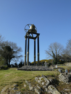 Saint Mary's Catholic ChurchBell tower/stand · 1.1 mi
Explorer Tom Saint Mary's Catholic Church bell tower in Lisdoonan has a secret it’ll only tell after three pints of stout. It stands…
 farm house1.7 mi
Explorer Tom Farm house in Carrickartagh has a bird that refuses to leave, likely because it knows this whitewashed spot gets the…
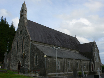 Saint Michael's Catholic ChurchChurch/chapel · 1.9 mi
Explorer Tom Saint Michael's Catholic Church in Corduff is mixing rough limestone with smooth ashlar like a fashionista who can't…
 Páirc Eoghain Uí Mhearáin, Corduff GaelsGAA ground · 2.0 mi
 Corvally Presbyterian ChurchChurch/chapel · 3.0 mi
Explorer Tom Corvally Presbyterian Church has stone cross finials that look like they’re trying to hold up the sky. It took…
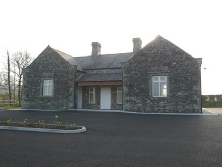 Corvally National SchoolSchool · 3.0 mi
Explorer Tom Corvally National School in Shanco would tell a stranger it’s a U-shape of pure educational excellence that also…
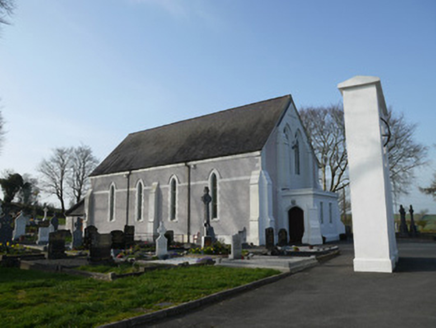 Catholic Church of Saint John the EvangelistChurch/chapel · 3.9 mi
Explorer Tom Catholic Church of Saint John the Evangelist hosted a dance that went too far, and the stained glass is still blushing…
 Wedge tomb in LisnadarraghWedge tomb · 4.9 mi
Explorer Tom Wedge tomb in Lisnadarragh is a giant’s grave that seems a bit shy about its own size. It’s been trying to outdo…
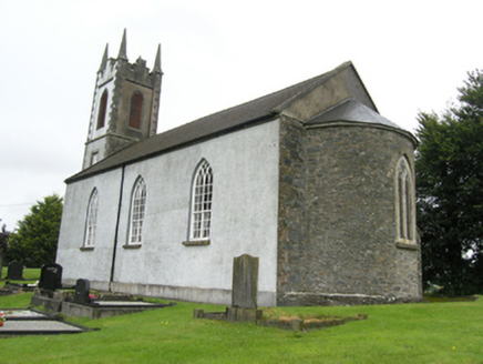 Killan Church of Ireland ChurchChurch/chapel · 5.2 mi
Explorer Tom Killan Church of Ireland Church in Lisdrumskea has an apsed chancel that’s basically showing off. It’s got that…
 water pump5.2 mi
Explorer Tom Water pump in Shinan hosted a dance that went too far when a local fiddler played so fast the lion’s head motif…
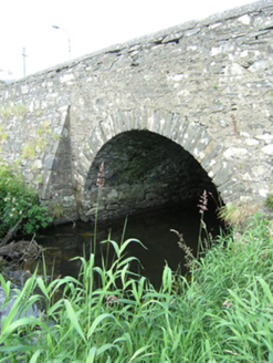 bridge5.2 mi
Explorer Tom This bridge in Lisdrumskea is proud of having two different faces, one for upstream and one for downstream. It’s a fine…
 Pedunculate Oak21 mi
Explorer Tom Pedunculate Oak in County Meath has very strong opinions on modern buildings and thinks they’re all just cardboard…
More archaeology and monuments in County Monaghan · All of County Monaghan

What do you know about this place?Tap to add a comment or ask a question