
What is recorded here
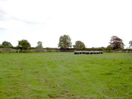
On a prominent rise in well-drained pasture. Depicted as a circular enclosure with the designation 'Fort' on the 1837 ed. of the OS 6-inch map. Not visible at ground level.
Compiled by: Patrick F. O'Donovan
Date of upload: 17 January 2012
The monument record does not grant public access. Check the route and ask the landowner before entering private land.
- What survives
- Recorded monument
Places near here
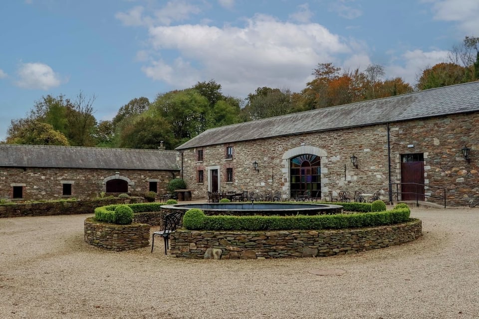
 Park Placewalled garden · 130 yd
 Mornin Castle (in Ruins)Castle, tower house · 927 yd
 Church (in Ruins)Church · 1016 yd
 DoonphilipCastle, motte · 1078 yd
 Kilbally Holy WellHoly well · 1745 yd
 Enclosure in BallybegEnclosure · 1.5 mi
 National Famine WayWalking route · 3.1 mi
 Newcastle WoodsForest · 3.3 mi
 Target WoodWood · 3.5 mi
 Craft WorkshopHeritage attraction · 4.1 mi
 Guest ServicesVisitor information · 4.1 mi
 Corlea Bog Walk Canal BranchWalking route · 4.5 mi
Other information
Photo: Credit not shown in the picture search · Rights wording not checked; contact us if this picture should be removed