
What is recorded here
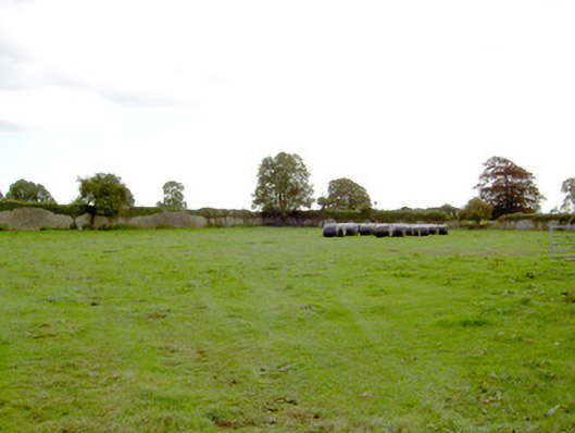
In pasture within a graveyard (LF023-057002-). In 1406 Charles Maccarmuyc was assigned the 'rectories’ of Taghshinny and Taghsheenod (LF023-097----) (Cal. papal letters 1904, vol. 6, 86) and in 1427 Carbricus Y [F]ergail a priest in the diocese of Ardagh held the 'perpetual vicarage’ (ibid. vol. 7, 571). In 1542 the rectory was leased to Walter Tirrell of Dublin (Nicholls 1994, vol. 1, 38). The church is depicted on an early 17th-century map of Moydow barony (BL, Cotton MS Augustus I.ii.28) and it is recorded on the terrier of the Down Survey (1655-6) map of Taghsheenod parish as the 'Ruined Church on the Gleabe Land' (NLI, MS 719).
This late-medieval, ivy-covered parish church (ext. dims. c. 18.2m E-W; c. 8.3m N-S; wall T 0.9m) is constructed of rubble limestone with alternating long and short undressed quoins. The doorway is at the W end of the N wall. Only its lower chamfered jambstones, punch dressed with drafted margins, survive in situ. A limestone two-light ogee-headed window with decorated spandrels is visible in the E gable and there is a narrow single-light window in the S end of the W wall. Bar-holes for an iron grill are visible in the jambs of the latter window. The remains of a single-light window at first-floor level in the centre of the W gable and beam-holes on its internal face suggest the former presence of a two-storey priest's residence, or less likely a gallery, at the W end of the church.
Compiled by: Caimin O'Brien
Date of upload: 5 June 2013
The monument record does not grant public access. Check the route and ask the landowner before entering private land.
- What survives
- Recorded monument
Places near here
 DoonphilipCastle, motte · 444 yd
 IndicatedFairy fort / earthen ringfort · 769 yd
 Not locatedCastle, unclassified · 1053 yd
 Park Placewalled garden · 1146 yd
 Catholic Church of the Sacred Heartchurch/chapel · 1264 yd
 Indicated FortFairy fort / earthen ringfort · 1296 yd
 Goldsmith Birthplace, PallasVisitor information · 3.0 mi
 Newcastle WoodsForest · 3.1 mi
 Target WoodWood · 3.3 mi
 National Famine WayWalking route · 3.6 mi
 Craft WorkshopHeritage attraction · 3.8 mi
 Guest ServicesVisitor information · 3.8 mi
Other information
Photo: Credit not shown in the picture search · Rights wording not checked; contact us if this picture should be removed