What is recorded here
Known locally as a 'fort'. Irregular eglongated area (int. dims. 46.3m NNW-SSE; 18.5m ENE-WSW) enclosed by a narrow earthen bank with an external trench and traces of an internal trench.
From the National Monuments Service (Archaeological Survey of Ireland) record CV031-052
The monument record does not grant public access. Check the route and ask the landowner before entering private land.
- What survives
- Recorded monument
Places near here
Oghill Bog WoodWood · 248 yd bridge616 ydSt Michael’s Roman Catholic ChurchChurch/chapel · 1.4 miRed IslandIslet · 1.5 miBroomhillWood · 1.6 miIndicatedEnclosure · 1.7 miDruid's AltarArchaeological place · 1.7 miDrumhawnaghMountain / peak · 2.0 miDrumcarbanMountain / peak · 2.7 miLismore CastleCastle, unclassified · 3.5 miCornafean gfcMemorial · 3.9 miBawn in CastlepolesBawn · 3.9 mi
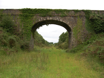 bridge616 yd
 St Michael’s Roman Catholic ChurchChurch/chapel · 1.4 miRed IslandIslet · 1.5 miBroomhillWood · 1.6 miIndicatedEnclosure · 1.7 miDruid's AltarArchaeological place · 1.7 miDrumhawnaghMountain / peak · 2.0 miDrumcarbanMountain / peak · 2.7 miLismore CastleCastle, unclassified · 3.5 miCornafean gfcMemorial · 3.9 miBawn in CastlepolesBawn · 3.9 mi
Pictures: National Inventory of Architectural Heritage; Deadstar, Wikimedia Commons · CC BY-SA 4.0
More archaeology and monuments in County Cavan · All of County Cavan
What do you know about this place?