
What is recorded here
Located at the summit of a drumlin and at the SE angle of a wood. This enclosure would have been within view of Newbliss House, c. 450m to the NW before a wood was established on the NW-facing slope of the hill before 1834 (OS map). This is a circular, grass-covered and domed area (diam. c. 27m) that is planted in beech trees. It is defined by an earthen bank (Wth c. 2-4m; int. H 0.5m; ex.t H 1.5m), which forms the boundary with Teer townland N-S-W, but the bank is barely present W-N within the wood. The bank survives best SE-W and there are slight traces of an outer fosse, which is particularly evident at SW. An original entrance is not identified.
Revised by: Michael Moore
Date of revised upload: 9 May 2018
The monument record does not grant public access. Check the route and ask the landowner before entering private land.
- What survives
- Recorded monument
Places near here
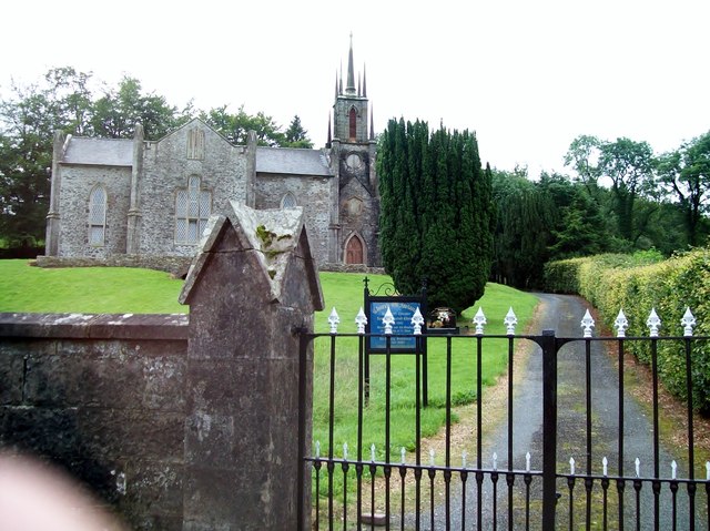 Newbliss Church (Killeevan)church/chapel · 263 yd
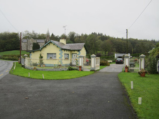 Newbliss Housegate lodge · 375 yd
 Indicated in plantingFairy fort / earthen ringfort · 773 yd
 LisaleaFairy fort / earthen ringfort · 1281 yd
 Tomb HillMountain / peak · 1.7 mi
 Common LimeCommon Lime · 2.2 mi
 KillycoonaghWood · 2.4 mi
 Saint John's WellSpring · 2.5 mi
 Roosky Castle (Site of)Castle, ringwork · 2.5 mi
 Lisarrilly HillMountain / peak · 2.7 mi
 Jaundice WellSpring · 3.8 mi
 Senator Billy Fox 1939 - 1974Memorial · 11 mi
Other information
Photo: Credit not shown in the picture search · Rights wording not checked; contact us if this picture should be removed