What is recorded here
Fairy fort / earthen ringfort in Drumbaragh: A small embanked enclosure, about twenty-five metres across, hid on a low spur in County Monaghan. The 1834 map called it a fort in gothic lettering, but human hands may have built only a modest fence or shelter before forgetting it. The fairies took the rest. They prefer small places, shadowed valleys and rooms no larger than a breath. What men abandoned, they finished.
Situated on a low NE-SW spur at the base of a SW-facing slope in a narrow NE-SW valley with hills to the NE and SW. A small embanked enclosure (ext. diam. c. 25m) is depicted only on the 1834 edition of the OS 6-inch map where it is described in gothic lettering as a ‘fort’. No archaeological feature is visible at ground level in pasture although faint indications of a subrectangular enclosure defined by a single fosse feature can be seen on OSI aerial images (1995).
The above description is derived from the published 'Archaeological Inventory of County Monaghan' (Dublin: Stationery Office, 1986). In certain instances the entries have been revised and updated in the light of recent research.
Revised by: Michael Moore
Date of revision: 8 May 2018
The monument record does not grant public access. Check the route and ask the landowner before entering private land.
- What survives
- Recorded monument
Places near here
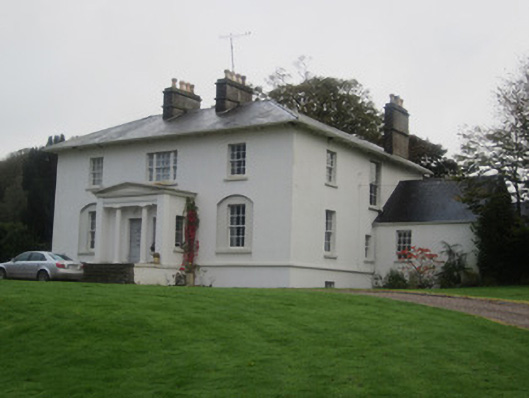 Glinch Housecountry house · 325 yd
 bridgebridge · 666 yd
 CairnCairn, unclassified · 906 yd
 LisaleaFairy fort / earthen ringfort · 929 yd
 Roosky Castle (Site of)Castle, ringwork · 1.4 mi
 Lisarrilly HillMountain / peak · 1.6 mi
 Common LimeCommon Lime · 1.8 mi
 KillycoonaghWood · 1.9 mi
 Saint John's WellSpring · 2.1 mi
 Tomb HillMountain / peak · 2.4 mi
 Jaundice WellSpring · 2.8 mi
 Senator Billy Fox 1939 - 1974Memorial · 12 mi