What is recorded here
In narrow tract of level pasture between E-W ridges. Large, roughly circular area (170m N-S; 160m E-W) defined by earthen bank (H 1.6m). Break in bank to S. Interior under pasture; Fanlobbus church (CO108-02703-) and graveyard (CO108-02702-) occupies SE quadrant, defined by earthen bank. 'Low earthen bank' (Hurley 1980, 59) running N from NW corner of graveyard, dividing the interior in half, has been levelled. Hurley (1980, 59) suggests that field fences to W and N, concentric with enclosing bank, may represent 'an outer enclosure'. Holy well (CO108-026---) c.260m to SW. Site mentioned in early historic sources (Hurley 1980, 59).
The above description is derived from the published 'Archaeological Inventory of County Cork. Volume 1: West Cork' (Dublin: Stationery Office, 1992). In certain instances the entries have been revised and updated in the light of recent research.
Date of upload/revision: 14 January 2009
The monument record does not grant public access. Check the route and ask the landowner before entering private land.
- What survives
- Recorded monument
Places near here
 Fanlobbur Church (in Ruins)Church · 53 yd
 Mass-rock in Gortnamucklagh (carbery East (w.d) By.)Mass-rock · 969 yd
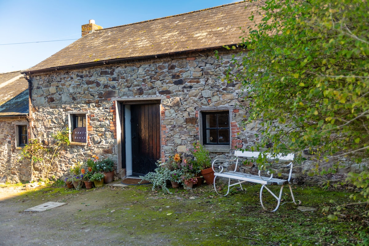 Enclosure in Acres (carbery East (w.d.) By.)Enclosure · 1195 yd
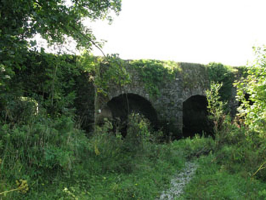 The Long Bridgebridge · 1.6 mi
 Graveyard in Dunmanway NorthGraveyard · 1.9 mi
 Ballynacarriga CastleCastle, tower house · 2.0 mi
 Dunmanway Heritage CentreVisitor information · 2.3 mi
 Castle (Site of)Castle, Anglo-Norman masonry castle · 2.5 mi
 Irish National Forestry FoundationNature reserve · 2.5 mi
 Mount GunneryMountain / peak · 2.6 mi
 Funmanway Adventure LandHeritage attraction · 2.7 mi
 Mohona WoodWood · 3.0 mi