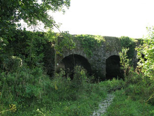
What is recorded here
Multiple-arch road bridge, built c.1820, spanning Bandon River. Recently widened to the south. Round-headed arches having rubble limestone voussoirs and soffits to north elevation. Square-headed openings to widened south elevation having concrete walling and lintels. Rubble limestone wall to north elevation with V-cutwaters rising to parapets with solider and crenellated copings, having square-profile coursed red brick piers to southern parapet.
An unusually long bridge which carries a road across the Bandon River. It is well-executed and indicative of the skill of early nineteenth century craftsmen and engineers. The long low parapet walls are visible from the eastern approach to Dunmanway and add interest to the landscape.
This does not grant access. Most recorded buildings are privately owned; view them only from public ground unless the owner allows entry.
Places near here
 Graveyard in Dunmanway NorthGraveyard · 559 yd
 Saint Patrick's Catholic Churchpresbytery/parochial/curate's house · 627 yd
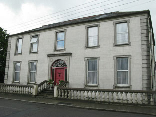 Carbery HouseOfficially recorded historic building · 780 yd
 G. Yd.Graveyard · 984 yd
 Hexagon RockMass-rock · 1135 yd
 Dunmanway Heritage CentreVisitor information · 1149 yd
 Castle (Site of)Castle, Anglo-Norman masonry castle · 1643 yd
 Mount GunneryMountain / peak · 1.5 mi
 Funmanway Adventure LandHeritage attraction · 1.7 mi
 Mohona WoodWood · 1.9 mi
 Ballynacarriga CastleCastle, tower house · 3.1 mi
 Irish National Forestry FoundationNature reserve · 4.2 mi
Other information
Photo: National Inventory of Architectural Heritage · Website use allowed for educational or private purposes with source credit