What is recorded here
In pasture on S-facing slope. Circular, heavily overgrown area (diam. c. 25m) enclosed by earthen bank, stone faced on inside. Interior raised on S side to compensate for hillslope; used as burial ground (CO141-065002-). Locally known as "lios".
From the National Monuments Service (Archaeological Survey of Ireland) record CO141-065001
Places near here
Photo credits
- National Inventory of Architectural Heritage
- Vadim Manuylov, Wikimedia Commons · CC BY-SA 3.0
- JessicaOSullivan1990, Wikimedia Commons · CC BY-SA 4.0
- Mike Searle, Geograph · CC BY-SA 2.0
- Mike Searle, Wikimedia Commons · CC BY-SA 2.0
- Mick Garratt, Geograph · CC BY-SA 2.0
- Andrew Wood, Geograph · CC BY-SA 2.0
- Dr Brian Lynch, Geograph · CC BY-SA 2.0
- Podstawko, Wikimedia Commons · CC BY 4.0
- Martin Southwood, Geograph · CC BY-SA 2.0
 Childrens Burial Ground (Disused)Burial ground · 1 yd
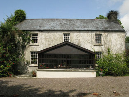 farm house1332 yd
 St. Matthew’s Church of Ireland ChurchChurch/chapel · 1543 yd
 Monterey Cypress1599 yd
 Skeagh CairnArchaeological place · 1.6 mi
 Kilcoe CastleCastle · 2.6 mi
_-_geograph.org.uk_-_3716613.jpg/250px-Castles_of_Munster,_Rincolisky,_Cork_(1)_-_geograph.org.uk_-_3716613.jpg "Photo: Mike Searle, Wikimedia Commons · CC BY-SA 2.0") Rincolisky CastleCastle · 3.5 mi
Rincolisky CastleCastle · 3.5 mi KnockomaghMountain / peak · 3.7 mi
 Ballydehob HarbourVisitor information · 4.3 mi
 Ballydehob's 3-Arch Road BridgeVisitor information · 4.3 mi
 Skeam EastIslet · 5.1 mi
 Bullock IslandIslet · 5.1 mi
More archaeology and monuments in County Cork · All of County Cork
What do you know about this place?Tap to add a comment or ask a question