What is recorded here
On a SE-facing slope in low-lying pasture. Depicted on the 1837 edition of the OS 6-inch map as an irregular tree-planted enclosure and on the 1914 edition as a roughly subrectangular enclosure. The monument was levelled in the early 1970s (local information) and is not visible at ground level. It may have been a landscape feature. O'Donovan
Date of upload: 4 February 2012
On a SE-facing slope in low-lying pasture. Depicted on the 1837 edition of the OS 6-inch map as an irregular tree-planted enclosure and on the 1914 edition as a roughly subrectangular enclosure. The monument was levelled in the early 1970s (local information) and is not visible at ground level. It may have been a landscape feature.
From the National Monuments Service (Archaeological Survey of Ireland) record LF013-024
The monument record does not grant public access. Check the route and ask the landowner before entering private land.
- What survives
- Recorded monument
Places near here
Photo credits
- National Inventory of Architectural Heritage
- 瑞丽江的河水, Wikimedia Commons · CC BY-SA 4.0
- Mike Searle, Geograph · CC BY-SA 2.0
- Kieran Campbell, Geograph · CC BY-SA 2.0
- AndreasDelp, Wikimedia Commons · CC BY-SA 4.0
Field boundary in MullaghField boundary · 283 ydField system in MullaghField system · 345 yd Mullagh HouseHouse · 597 ydbridge688 ydAghareagh HouseCountry house · 840 ydAghareagh HouseFarmyard complex · 867 ydFirst World War MemorialMemorial · 1632 ydSaint Mel's CathedralCathedral · 1.0 miGraveyard in Curry (ardagh By., Coolamber Ed)Graveyard · 2.7 miRathcline CastleHouse, fortified house · 9.0 miRathcline CastleBawn · 9.0 miInchcleraunIsland · 13 mi
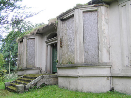 Mullagh HouseHouse · 597 yd
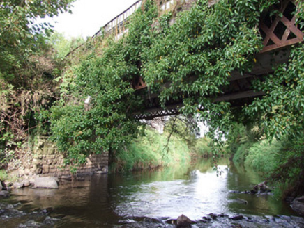 bridge688 yd
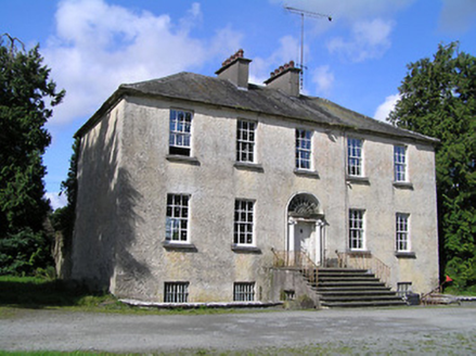 Aghareagh HouseCountry house · 840 yd
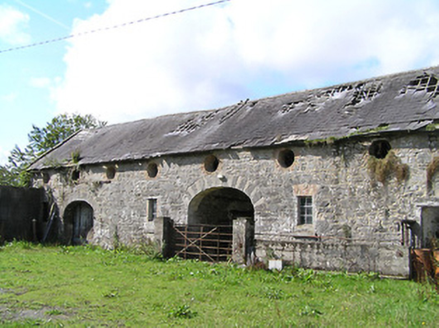 Aghareagh HouseFarmyard complex · 867 yd
 First World War MemorialMemorial · 1632 yd
 Saint Mel's CathedralCathedral · 1.0 miGraveyard in Curry (ardagh By., Coolamber Ed)Graveyard · 2.7 mi
 Rathcline CastleHouse, fortified house · 9.0 mi
 Rathcline CastleBawn · 9.0 mi
 InchcleraunIsland · 13 mi
More archaeology and monuments in County Longford · All of County Longford
What do you know about this place?