
What is recorded here
On a low hill in undulating pasture. Excavation in 2009 revealed evidence for possible medieval agricultural activity at and within a burial ground (LF013-146----). A series of linear gullies and shallow ditches aligned NW–SE was interpreted, largely on the basis of stratigraphic evidence, as the remnants of a field system that pre-dated the burial ground. The exposed length of the largest ditch was estimated at c. 90m. A second ditch (L 30m; Wth 1.4m; D 0.39m), curving at its W extent, was cut into by four of the graves. A series of isolated pits, post-holes and burnt spreads, of uncertain antiquity and function, were also excavated. A corn-drying kiln (LF013-148----) was also found at the W extent of the excavation (Hull 2009; Stephens 2009b, 2009c; pers. comm. M. Stephens).
Compiled by: Patrick F. O'Donovan
Date of upload: 22 November 2011
The monument record does not grant public access. Check the route and ask the landowner before entering private land.
- What survives
- Recorded monument
Places near here
 Field boundary in MullaghField boundary · 91 yd
 Furnace in MullaghFurnace · 171 yd
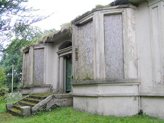 Mullagh Househouse · 267 yd
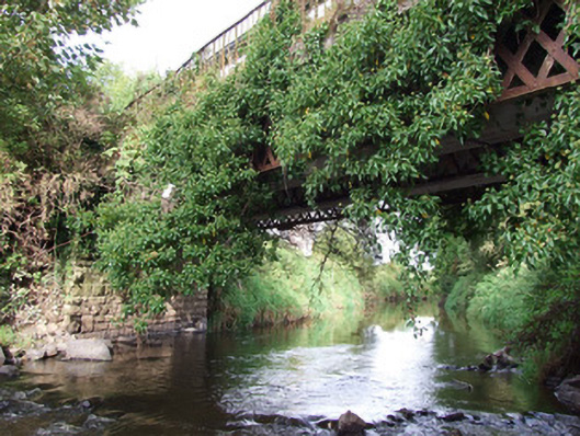 bridgebridge · 499 yd
 Bawn in AbbeycartronBawn · 1677 yd
 First World War MemorialMemorial · 1.1 mi
 Saint Mel's CathedralCathedral · 1.2 mi
 Graveyard in Curry (ardagh By., Coolamber Ed)Graveyard · 2.8 mi
 CastleCastle, Anglo-Norman masonry castle · 4.5 mi
 Commons North WalkVisitor information · 7.9 mi
 Wild birdsVisitor information · 8.1 mi
 White Sand WoodWood · 8.4 mi
Other information
Photo: Credit not shown in the picture search · Rights wording not checked; contact us if this picture should be removed