
What is recorded here
From the National Monuments Service (Archaeological Survey of Ireland) record MA022-030
Places near here
Photo credits
- National Inventory of Architectural Heritage
- Maker not stated on source page, en.wikipedia.org
- Killala GAA Club, via Connaught Telegraph; individual photographer not named, www.con-telegraph.ie
- Maker not stated on source page, www.pinterest.com
- Maker not stated on source page, au.pinterest.com
- Maker not stated on source page, www.skyscanner.ie
 manse685 yd
Explorer Tom Manse in Mullafarry was secured for Reverend John Wilson, who probably thought he deserved a bigger porch for all his…
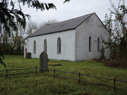 Mullafarry Presbyterian ChurchChurch/chapel · 923 yd
Explorer Tom Mullafarry Presbyterian Church has a huge, ongoing drama with the nearest tree about who looks taller. The church is…
 Mullafarry Presbyterian GraveyardGraveyard · 926 yd
Explorer Tom Mullafarry Presbyterian Graveyard has a strong opinion about the road that leads to it. It thinks the tarmac is an…
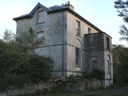 rectory/glebe/vicarage/curate's house963 yd
Explorer Tom Rectory in Mullafarry was built with government money back in 1809, which makes it feel like a very official house that…
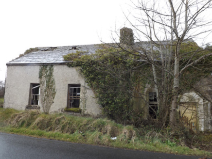 school967 yd
Explorer Tom Lisglennon school holds a fake world record for the most dust particles per square inch of floor. It sits next to a…
 Gerry Maheady Memorial Park, Killala GAAGAA ground · 974 yd
 Mullafarry Old GraveyardGraveyard · 1003 yd
Explorer Tom Mullafarry Old Graveyard is having a bit of a hissy fit because some bishop refused to visit back in the day.…
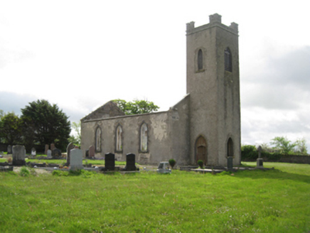 Ballysakeery Church (Ballysakeery)Church/chapel · 1005 yd
Explorer Tom Ballysakeery Church would post its own photos online with captions like ‘Vibe Check: Passed’ and no filters whatsoever.…
 Mullafarry Old ChurchRuins · 1007 yd
Explorer Tom Mullafarry Old Church in County Mayo holds a fake world record for 'Most Time Spent Pretending to Be Important.' It’s…
 Melick Castle in RuinsCastle, unclassified · 1448 yd
Explorer Tom Meelick Castle is listening to the wind complain about the weather, which is honestly the only interesting thing…
 Farragh CastleCastle, unclassified · 1553 yd
Explorer Tom Farragh Castle was designed by a mother-in-law who wanted exactly ten metres of space and no more. She measured…
 Megalithic tomb in BallinteeanMegalithic tomb · 1.2 mi
Explorer Tom Megalithic tomb in Ballinteean might be older than the concept of time itself, or at least that’s what the locals swear…
More archaeology and monuments in County Mayo · All of County Mayo

What do you know about this place?Tap to add a comment or ask a question