What is recorded here
Prominently sited on a hilltop (OD 310 feet, and formerly the site of an OS Trigonometrical Station) with commanding views of the surrounding countryside. A fairly high, sub-circular, earthen mound (base diams. 22.4m NW-SE; 19.35m NE-SW; upper diams. 4.8m NW-SE; 3.15m NE-SW; max H 4.8m at SW; min H 2.9m at NE) has a concrete water tank built into its upper surface (dims. L 2.15m NE-SW; Wth 1.6m). An earthen ramp (dims. L c. 36m NW-SE; Wth c. 6m) approaching the mound from the NW noted in 1958 (SMR file) and interpreted as not ancient, has since been levelled.
Prominently sited on a hilltop (OD 310 feet, and formerly the site of an OS Trigonometrical Station) with commanding views of the surrounding countryside. A fairly high, sub-circular, earthen mound (base diams. 22.4m NW-SE; 19.35m NE-SW; upper diams. 4.8m NW-SE; 3.15m NE-SW; max H 4.8m at SW; min H 2.9m at NE) has a concrete water tank built into its upper surface (dims. L 2.15m NE-SW; Wth 1.6m). An earthen ramp…
From the National Monuments Service (Archaeological Survey of Ireland) record KD021-007
The monument record does not grant public access. Check the route and ask the landowner before entering private land.
- What survives
- Recorded monument
Places near here
Photo credits
- National Inventory of Architectural Heritage
- Sitomon, Wikimedia Commons · CC BY-SA 2.0
- Zairon, Wikimedia Commons · CC BY 4.0
- 瑞丽江的河水, Wikimedia Commons · CC BY-SA 4.0
- Mike Searle, Wikimedia Commons · CC BY-SA 2.0
- Bernie, Wikimedia Commons · CC BY-SA 2.0
- Credit not shown, Wikimedia Commons · Creative Commons Attribution-ShareAlike 4.0
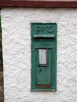 post box474 yd
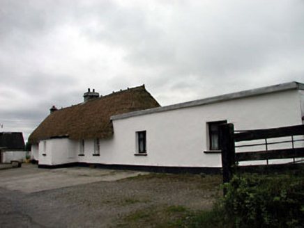 farm house966 yd
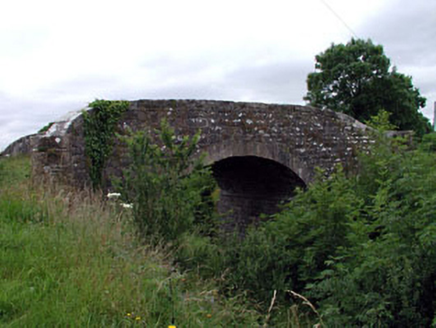 Ummeras BridgeBridge · 1375 yd
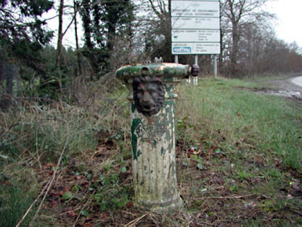 water pump1.3 mi
 European Yew2.9 miEuropean Yew3.0 miBithia Mary CrokerMemorial · 3.5 mi
 Round Tower4.7 mi
 St. Brigids CathedralCathedral · 4.7 mi
 Lea Castle (in ruins)Castle, Anglo-Norman masonry castle · 5.3 mi
 Japanese GardensHeritage attraction · 5.4 mi
 IndicatedCastle, motte · 10 mi
More archaeology and monuments in County Kildare · All of County Kildare
What do you know about this place?