What is recorded here
Situated at the crest of an E-facing slope. The church of St. Stephen (WX029-013017-) and its graveyard (WX029-013069-) are within a subcircular ecclesiastical enclosure (diam. c. 160m E-W; c. 140m N-S) defined by stone walls and hedges, but burial has now expanded to fill the ecclesiastical enclosure. The site of St. Stephen’s Well (WX029-013070-) is inside the perimeter of the enclosure at SE. Archaeological testing (03E1390) c. 100m S of the enclosure produced some north Devon ware and some eroded late medieval wares in secondary contexts, but no features or structures were recorded (McLoughlin 2007a) and testing (04E0266) in Reddysland c. 50m W of the enclosure produce no related material (McLoughlin 2007b).
The above description is derived from the published 'Archaeological Inventory of County Wexford' (Dublin: Stationery Office, 1996). In certain instances the entries have been revised and updated in the light of recent research.
Compiled by: Michael Moore
Date of upload/revision: 2 August, 2012
Amended: 4 April, 2014
The monument record does not grant public access. Check the route and ask the landowner before entering private land.
- What survives
- Recorded monument
Places near here
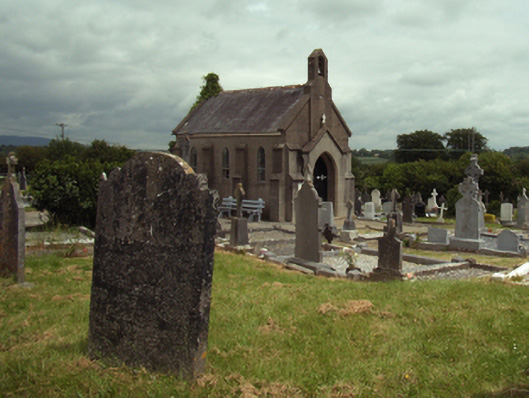 Saint Stephen's Cemeterygraveyard/cemetery · 6 yd
 Site of St. Stephens ChapelChurch · 28 yd
 St. Stephens WellHoly well · 81 yd
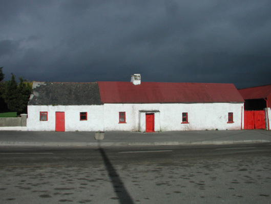 farm housefarm house · 131 yd
 Battle of New Ross (1798)Major battlefield · 1294 yd
 O'NeillMemorial · 1439 yd
 Crutched FriarsMemorial · 1561 yd
 Ros Tapestry ExhibitionGallery · 1565 yd
 DunbrodyHeritage attraction · 1573 yd
 IndicatedBawn · 1669 yd
 Forest Of The DunbrodyForest · 1.9 mi
 Lacken HillMountain / peak · 1.9 mi