
What is recorded here
Depicted faintly as a rectangular feature (dims. c. 20m E-W; c. 6m N-S) described as the site of St. Stephen’s Chapel on the 1839 and 1940 eds. of the OS 6-inch map, and situated at the crest of an E-facing slope. Hore (1900-11, vol. 1, 46) regards it as the hermitage of St. Abban, but this is unsupported. One length of wall oriented N S (L 5.8m; T 0.6m; H 0.5m) is all that remains, but a built-up grave-enclosure (ext. dims. 4.65m E-W 3.8m N-S) 14m to the W may also have been part of the church. There are two bullaun stones at this enclosure. A granite bullaun stone (dims. 0.7m x 0.6m; H 0.3m) with a single basin (diam. 0.33-0.35m; D 0.2m) is built into the top of the grave-enclosure wall, and another granite bullaun stone (dims. 0.61m x 0.44m; H 0.25m) with a single basin (diam. 33m; D 0.16m) is nearby. On the 1839 ed. of the map the church is within a subrectangular graveyard (dims. c. 105m E-W; 65-85m N-S), which itself is within a subcircular ecclesiastical enclosure (diam. c. 160m E-W; c. 140m N-S) defined by stone walls and hedges, but burial has now expanded to fill the ecclesiastical enclosure and there is no evidence of the old graveyard boundary. The site of St. Stephen’s Well is inside the perimeter of the enclosure at SE.
Compiled by: Michael Moore
Date of upload: 2 August, 2012
The monument record does not grant public access. Check the route and ask the landowner before entering private land.
- What survives
- Recorded monument
Places near here
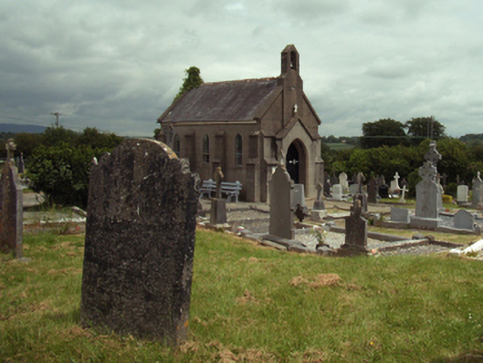 Saint Stephen's Cemeterygraveyard/cemetery · 25 yd
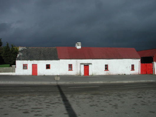 farm housefarm house · 104 yd
 St. Stephens WellHoly well · 108 yd
 Monastery (in ruins)Ecclesiastical site · 644 yd
 Battle of New Ross (1798)Major battlefield · 1279 yd
 O'NeillMemorial · 1425 yd
 Crutched FriarsMemorial · 1552 yd
 Ros Tapestry ExhibitionGallery · 1553 yd
 DunbrodyHeritage attraction · 1560 yd
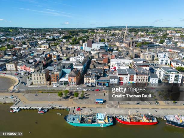 IndicatedBawn · 1645 yd
 Forest Of The DunbrodyForest · 1.9 mi
 Lacken HillMountain / peak · 1.9 mi
Other information
Photo: Credit not shown in the picture search · Rights wording not checked; contact us if this picture should be removed