What is recorded here
On the highest point of a NE-SW ridge in pasture. Depicted as a limekiln on the on the 1837 and 1883 editions of the OS 6-inch map and as a small quarry on the OS 25-inch map. There are no visible remains at ground level.
Compiled by: Patrick F. O'Donovan and Geraldine Stout
Date of upload: 5 November 2012
This remains an important historical record, but the official description says the monument is no longer visible or has been destroyed. The monument record does not grant public access. Check the route and ask the landowner before entering private land.
- What survives
- No visible remains or recorded as destroyed
Places near here
 Mornin Castle (in Ruins)Castle, tower house · 384 yd
 Kilbally Holy WellHoly well · 957 yd
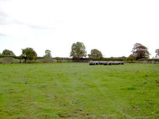 Park Placewalled garden · 1084 yd
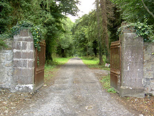 Doory Hallgates/railings/walls · 1397 yd
 fort HachuredFairy fort / earthen ringfort · 1638 yd
 DoonphilipCastle, motte · 1.2 mi
 National Famine WayWalking route · 2.7 mi
 Newcastle WoodsForest · 3.6 mi
 Target WoodWood · 3.8 mi
 Corlea Bog Walk Canal BranchWalking route · 3.9 mi
 Corlea Trackway Interpretative CentreHeritage attraction · 4.2 mi
 Graveyard in Curry (ardagh By., Coolamber Ed)Graveyard · 5.8 mi