What is recorded here
Located in a slight hollow of a gentle E-facing slope with a W-E stream c. 60m to the S and the NW-SE River Urin in a deep valley c. 600m to the E. This is a raised rectangular, grass-covered area (dims. 40m ENE-WSW; 38m NNW-SSE) defined by a straight scarp with an external moat (Wth of top 2-3.5m; D below the interior 1.5-2m) on all sides except the N where there is a laneway. The abpve description is derived from the published 'Archaeological Inventory of County Wexford' (Dublin: Stationery Office, 1996).
From the National Monuments Service (Archaeological Survey of Ireland) record WX019-015
The monument record does not grant public access. Check the route and ask the landowner before entering private land.
- What survives
- Recorded monument
Places near here
Photo credits
- National Inventory of Architectural Heritage
- George Cruikshank, Wikimedia Commons · Public domain
- Algirdas at Lithuanian Wikipedia, Wikimedia Commons · Public domain
- Garry Dickinson, Geograph · CC BY-SA 2.0
- David Purchase, Geograph · Creative Commons Attribution-ShareAlike 2.0
- Sciadopitys from UK, Wikimedia Commons · CC BY-SA 2.0
- Mike Searle, Wikimedia Commons · CC BY-SA 2.0
- No machine-readable author provided. Voyager assumed (based on copyright claims)., Wikimedia Commons · CC BY-SA 3.0
- kevin higgins, Geograph · CC BY-SA 2.0
- kevin higgins, Wikimedia Commons · CC BY-SA 2.0
 Kiltrea BridgeBridge · 1148 yd
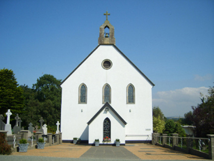 Catholic Church of Saint John the BaptistChurch/chapel · 1194 yd
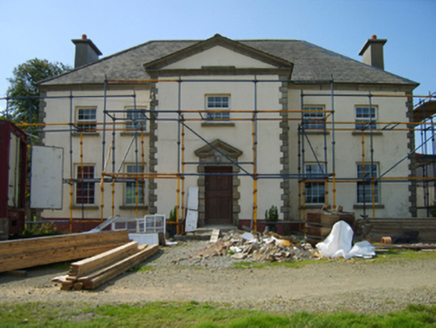 BroomlandsFarm house · 1.3 mi
_p184_Defeat_at_Vinegar_Hill_(cropped).jpg/250px-MAXWELL(1845)_p184_Defeat_at_Vinegar_Hill_(cropped).jpg "Photo: George Cruikshank, Wikimedia Commons · Public domain") Battle of Vinegar HillMajor battlefield · 3.9 mi
Battle of Vinegar HillMajor battlefield · 3.9 mi Pedunculate Oak3.9 mi
 Wilton HouseCastle, unclassified · 4.3 mi
 Clonmore Grave YardGraveyard · 6.3 mi
 European Larch7.5 mi
_(geograph_5442502).jpg/250px-Castles_of_Leinster-_Adamstown,_Wexford_(1)_(geograph_5442502).jpg "Photo: Mike Searle, Wikimedia Commons · CC BY-SA 2.0") Castle (in ruins)Castle, tower house · 8.3 mi
Castle (in ruins)Castle, tower house · 8.3 mi Mount LeinsterMountain · 8.6 mi
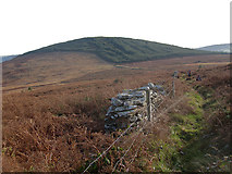 John's HillMountain / peak · 9.7 mi
 GreenogeMountain / peak · 10 mi
More archaeology and monuments in County Wexford · All of County Wexford
What do you know about this place?