
What is recorded here
Situated on a gentle ESE-facing slope, c. 60m W of a small stream, in reclamed pasture. Raised circular area (diam. 20.1m) enclosed by two low banks of earth and stone with shallow intermediate fosse. The inner bank (Wth 0.2-0.8m) and the fosse (Wth. 3.1m) are present for the complete circuit. The outer bank (Wth c.3m; H 0.5m) has been levelled from N-WNW but its outline can still be traced from N-E. Large quantities of stone were used in the construction of both banks. Large facing stones have been applied to both the inner and outer faces of both banks. There is a blocked-up, stone-lined break (Wth. 1.8m) in the inner bank at SSW, probably marking the original entrance. The interior is quite waterlogged and is populated by reeds and other scrub.
Compiled by: Patrick F. O'Donovan
Date of upload: 19 January 2011
The monument record does not grant public access. Check the route and ask the landowner before entering private land.
- What survives
- Recorded monument
Places near here
 Field system in Bookaun (tottenham)Field system · 503 yd
 Enclosure in Bookaun (tottenham)Enclosure · 563 yd
 The Old Rectoryrectory/glebe/vicarage/curate's house · 1271 yd
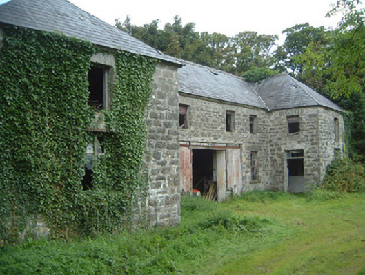 Fortlandfarmyard complex · 1290 yd
 Bawn in CastletownBawn · 1.1 mi
 CastleCastle, ringwork · 1.1 mi
 Wild Atlantic Way: Easky PierVisitor information · 1.2 mi
 Bunowna PointHeadland · 1.2 mi
 Jim Smith MemorialMemorial · 1.6 mi
 Split RockNamed rock · 1.9 mi
 Wild Atlantic Way: Inishcrone PierVisitor information · 6.3 mi
 Grave of the Black PigArchaeological place · 7.1 mi
Other information
Photo: Credit not shown in the picture search · Rights wording not checked; contact us if this picture should be removed