What is recorded here
Situated on a N-facing slope at the head of a SE-NW valley in pasture.This enclosue is not indicated on the 1839 ed. of the OS 6-inch map. Its N perimeter is represented by a pond-like feature in the form of an arc on the OS 25-inch plan (surveyed 1902); this may represent a fosse that runs NW-NE (C c. 50m). The enclosure is visible as a circular soil mark on aerial photographs (SMR file). When inspected in 1987 it was not visible at ground level.
Compiled by: Paul Walsh
Date of upload: 25 February 2013
Amended: 25 April, 2014
The monument record does not grant public access. Check the route and ask the landowner before entering private land.
- What survives
- Recorded monument
Places near here
 Enclosure in BallynamuddaghEnclosure · 634 yd
 Embanked enclosureCastle, motte · 1.1 mi
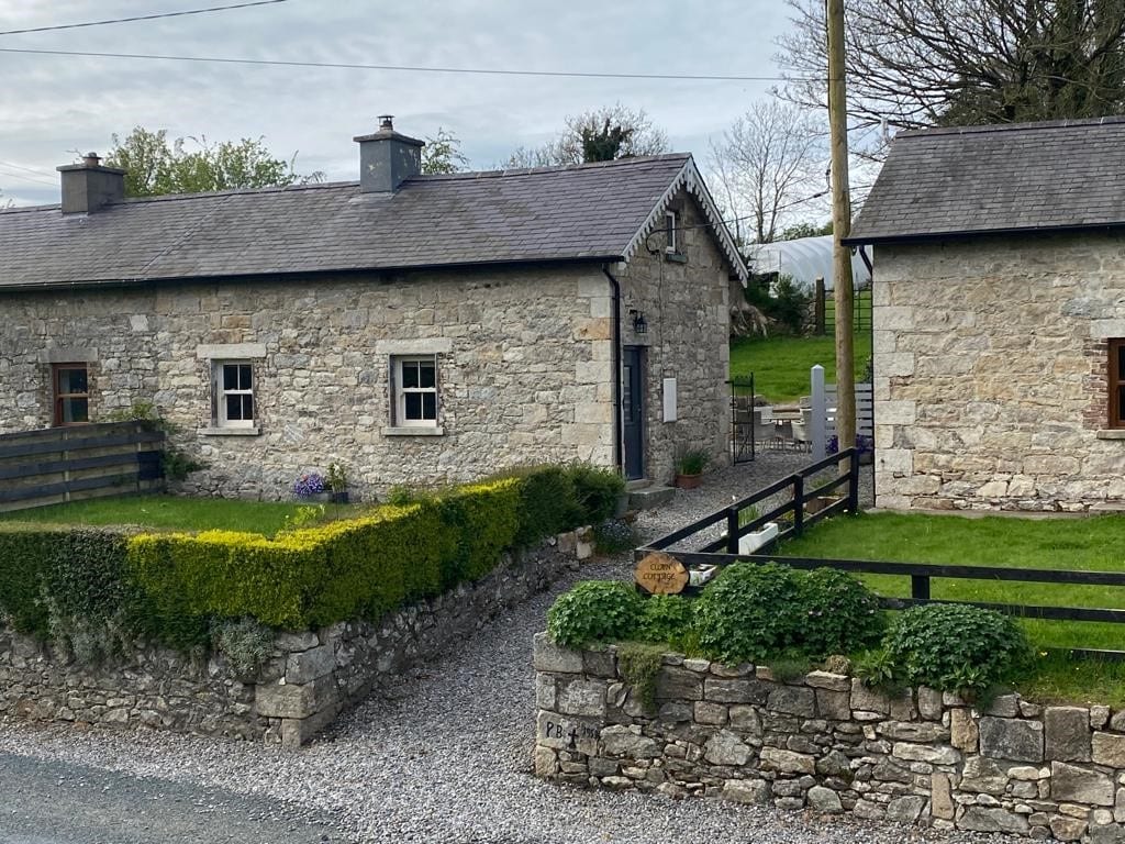 Enclosure in Clonmore LowerEnclosure · 1.6 mi
 graveyard/cemeterygraveyard/cemetery · 1.6 mi
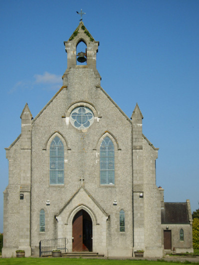 Catholic Church of Saint John the Baptistchurch/chapel · 1.6 mi
 Battle of Vinegar Hill, 1798Monument · 4.0 mi
 Vinegar HillMountain / peak · 4.0 mi
 National 1798 CentreMuseum · 4.7 mi
 Battle of Vinegar HillMajor battlefield · 4.7 mi
 U.N. Peace MemorialMonument · 4.8 mi
 Duffry GateMemorial · 4.8 mi
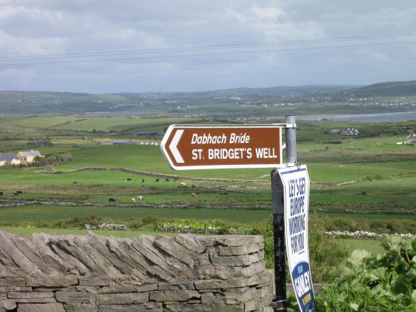 St, Bridgets WellHoly well · 1.9 mi