
What is recorded here
Situated on the summit of a broad hill. The faint cropmark of a circular enclosure (diam. c. 35m) defined by a narrow feature is visible on aerial photographs (MM (57) 24-7). Rath (WX026-064----) is c. 150m to the SW. It is also visible on Google Earth (14/07/2018).
See the attached enhanced view from Google Earth (2018)
Compiled by: Michael Moore
Date of upload: 11 July, 2012
A local fairy fort (ringfort/rath); wider significance not recorded.
The monument record does not grant public access. Check the route and ask the landowner before entering private land.
- What survives
- Recorded monument
Places near here
 Embanked enclosureCastle, motte · 1.2 mi
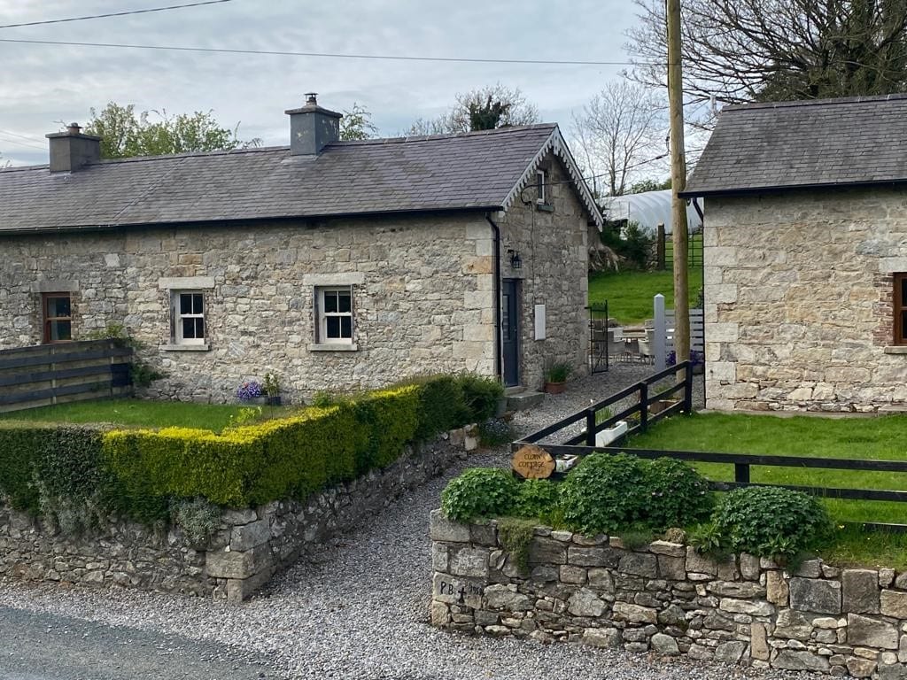 Enclosure in Clonmore LowerEnclosure · 1.4 mi
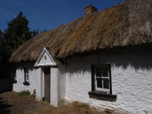 farm housefarm house · 1.6 mi
 Enclosure in Clonmore UpperEnclosure · 1.6 mi
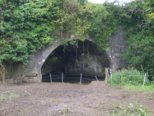 Cooladine Bridgebridge · 1.7 mi
 National 1798 CentreMuseum · 4.3 mi
 Battle of Vinegar HillMajor battlefield · 4.4 mi
 U.N. Peace MemorialMonument · 4.5 mi
 Duffry GateMemorial · 4.5 mi
 CastleCastle, ringwork · 5.0 mi
 Pedunculate OakPedunculate Oak · 9.3 mi
 Raheennahoon HillMountain / peak · 9.5 mi
Other information
Photo: Credit not shown in the picture search · Rights wording not checked; contact us if this picture should be removed