
What is recorded here
On a slightly raised area in pasture, 290m E of the 12th century Cistercian abbey of Monasteranenagh (LI031-050004-) and 200m W of the Camoge River. Abbey Ville House and walled garden 400m to SW. Depicted on the 1840 ed. OSi 6-inch map as a tree-covered polygonal-shaped earthwork intersected at S by a field boundary…
Read the whole record
From the National Monuments Service (Archaeological Survey of Ireland) record LI031-052
Places near here
Photo credits
- JohnArmagh, Wikimedia Commons · Public domain
- Maker not stated on source page, www.flickr.com
- National Inventory of Architectural Heritage
- Maker not stated on source page, co.pinterest.com
- Maker not stated on source page, www.geograph.ie
- Maker not stated on source page, evoke.ie
- Maker not stated on source page, ru.pinterest.com
- Maker not stated on source page, www.coliseum-online.com
- Kmcnamee, Wikimedia Commons · CC BY-SA 4.0
 Monasteranenagh AbbeyHeritage attraction · 359 yd
Explorer Tom Monasteranenagh Abbey rises from a Limerick field, where its ruined church and chapter house still make a large claim…
 Monasteranenagh Abbey (in ruins)Religious house, Cistercian monks · 378 yd
Explorer Tom Monasteranenagh Abbey would cope badly on a reality show because it refuses to compromise its dour personality.…
 Monaster BridgeBridge · 596 yd
Explorer Tom Monaster Bridge would tell its younger self to stop trying so hard with those cutwaters, mate. It’s a well-proportioned…
 River ViewHouse · 799 yd
Explorer Tom River View in Monaster North is where Vikings got lost looking for the river instead of the view. The sliding sash…
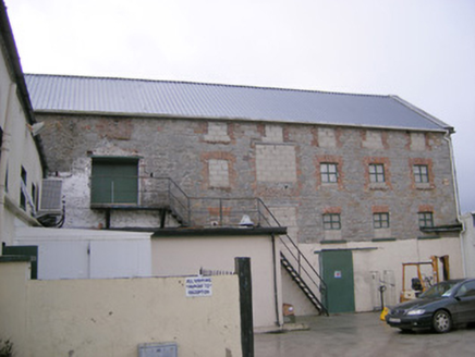 mill (water)993 yd
Explorer Tom Mill in Ballymacsradeen East is mixing limestone and corrugated iron like a weird fashion statement. It’s got that…
 Ric barracks1109 yd
Explorer Tom The RIC barracks in Ballymacsradeen East plans to retire by becoming a very serious art gallery. It spent decades…
 Fairy fort / earthen ringfort in DunkipFairy fort / earthen ringfort · 1370 yd
Explorer Tom Fairy fort / earthen ringfort in Dunkip hates modern buildings because they don’t have any manners. It sits in the…
 Rathmore Castle (in ruins)Castle, tower house · 1538 yd
Explorer Tom Rathmore Castle wants its tombstone to read: 'I was seventy feet tall and you didn't even notice.' It’s remarkably well…
 Fairy fort / earthen ringfort in CloraneFairy fort / earthen ringfort · 1.0 mi
Explorer Tom Fairy fort / earthen ringfort in Clorane would win a county fair by simply existing and looking slightly damp. It’s…
 Castle (in ruins)Castle, tower house · 1.7 mi
Explorer Tom Castle in Tullovin was saved by a hero nobody remembers, who just threw a rock at an attacker and ran home. The tower…
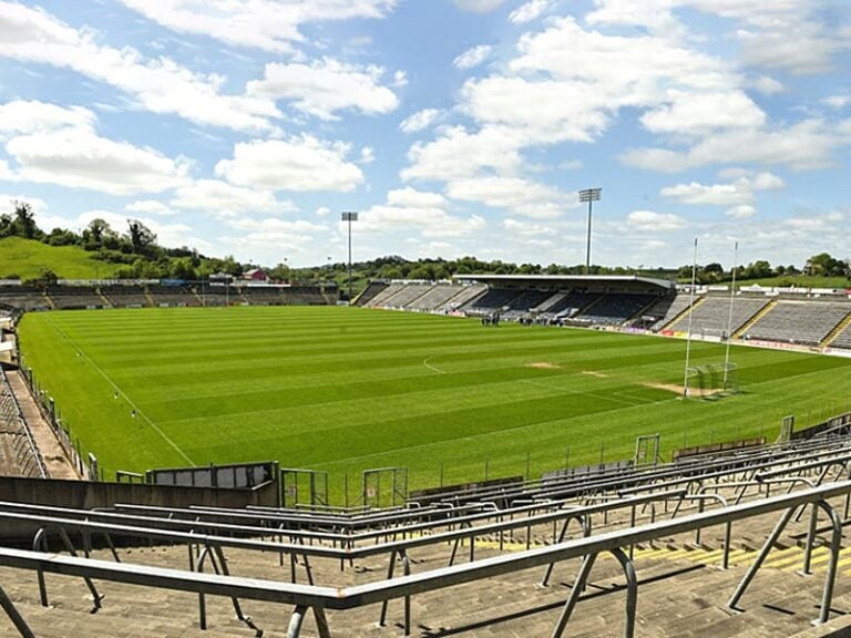 Camogue Rovers GAA pitchGAA ground · 1.8 mi
 Fedamore GAA pitchGAA ground · 2.6 mi
More archaeology and monuments in County Limerick · All of County Limerick

What do you know about this place?Tap to add a comment or ask a question