What is recorded here
Situated on a rise in a gently undulating landscape. The parish church of Killeagh (ME008-035----), of which there is no visible trace, is in a raised D-shaped graveyard (dims c. 60m N-S; c. 60m E-W) defined by masonry walls with straight sides at N, E and W. There are mature deciduous trees inside the perimeter, and the graveyard has a large collection of headstones dating from c. 1730-1750. It continued in used until c. 1910, but there are no dressed stones from the medieval structure in the graveyard. A small rectangular annexe (dims c. 35m E-W; c. 10m N-S) defined by masonry walls and attached to the N continues to be used for burial up to the present.
Compiled by: Michael Moore
Date of revision: 14 January, 2015
This remains an important historical record, but the official description says the monument is no longer visible or has been destroyed. The monument record does not grant public access. Check the route and ask the landowner before entering private land.
- What survives
- No visible remains or recorded as destroyed
Places near here
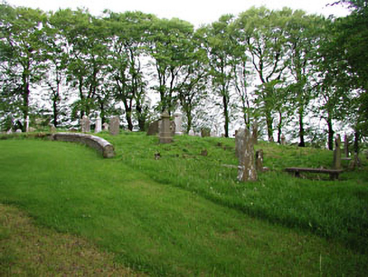 graveyard/cemeterygraveyard/cemetery · 6 yd
 European BeechEuropean Beech · 14 yd
 Ecclesiastical enclosure in Moat (fore By.)Ecclesiastical enclosure · 66 yd
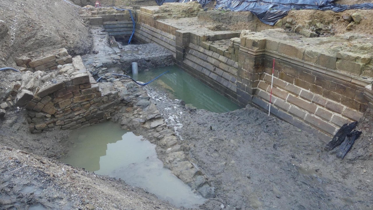 Enclosure in Moat (fore By.)Enclosure · 269 yd
 The MoatCastle, motte and bailey · 501 yd
 CastleCastle, unclassified · 857 yd
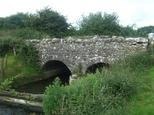 Ballinacree Bridgebridge · 1594 yd
 Mount FortuneMountain / peak · 2.0 mi
 Memorial CrossMemorial · 2.2 mi
 Mullaghmeen ForestPicnic place · 2.3 mi
 Fennor LowerMountain / peak · 2.9 mi
 Zip WireHeritage attraction · 3.5 mi