What is recorded here
On a shelf of a slight S-facing slope on a broad plateau. Circular grass-covered area (diam. 29.2m N-S; 27.4m E-W) defined by a flat-topped earthen bank (Wth of base 3.5-5m; Wth of top 1.6-2.3m; int. H 0.1-0.6m; ext. H 1.1-1.3m), with faint traces of a fosse (Wth of base 1.6m; D 0.1m) ESE-SSW. There is no evidence of an original entrance.
From the National Monuments Service (Archaeological Survey of Ireland) record RO032-018
Places near here
Photo credits
- National Inventory of Architectural Heritage
- Dougbermingham at en.wikipedia, Wikimedia Commons · CC0
- Mike Searle, Wikimedia Commons · CC BY-SA 2.0
- David Purchase, Geograph · Creative Commons Attribution-ShareAlike 2.0
- Willow, Wikimedia Commons · CC BY 2.5
- Andreas F. Borchert, Wikimedia Commons · CC BY-SA 4.0
- Enda O Flaherty, Geograph · CC BY-SA 2.0
- Wanfried-Dublin, Wikimedia Commons · CC BY-SA 3.0
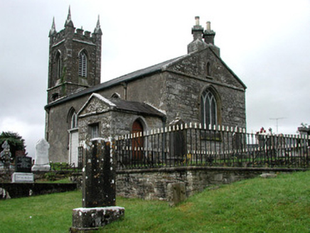 Kiltullagh Church (Kiltullagh)Church/chapel · 2.6 mi
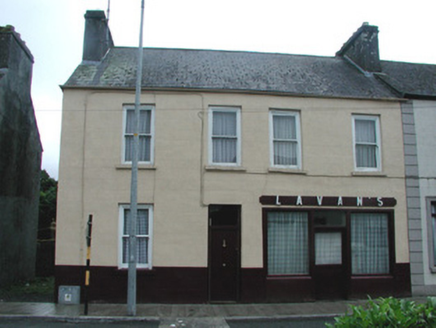 Lavan'sHouse · 2.7 mi
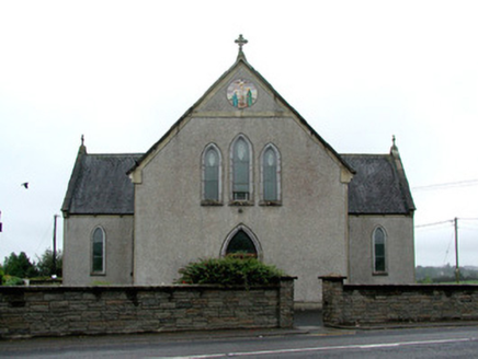 Catholic Church of the Immaculate ConceptionChurch/chapel · 2.8 mi
 Slieve DartMountain / peak · 3.1 mi
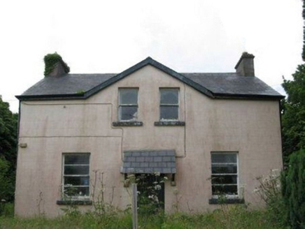 teacher's house3.7 mi
 Dunmore CastleCastle, hall-house · 6.9 mi
_-_geograph.org.uk_-_1952978.jpg/250px-Castles_of_Connacht,_Glinsk,_Galway_(2)_-_geograph.org.uk_-_1952978.jpg "Photo: Mike Searle, Wikimedia Commons · CC BY-SA 2.0") Bawn in Glinsk (ballymoe By.)Bawn · 10 mi
Bawn in Glinsk (ballymoe By.)Bawn · 10 mi Grave YardGraveyard · 11 mi
 European ash15 mi
 Cloigtheach (Round Tower)Round tower · 15 mi
 KnockmaaWood · 20 mi
 Kilcoona Round TowerHeritage attraction · 24 mi
More archaeology and monuments in County Roscommon · All of County Roscommon
What do you know about this place?Tap to add a comment or ask a question